Resources

View Online - Services Portfolio 2026
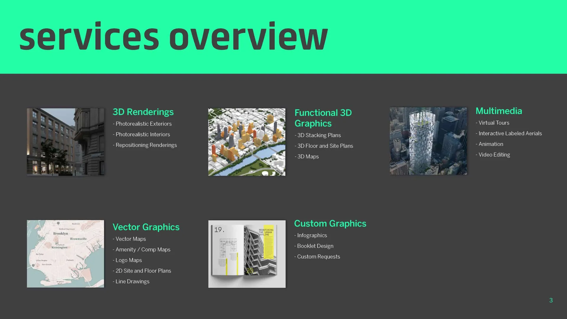
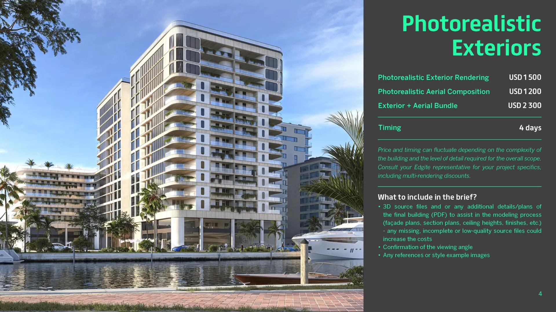
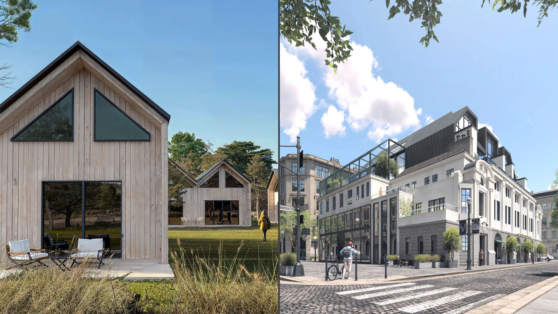
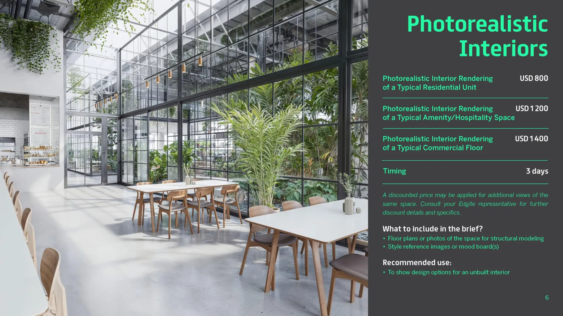
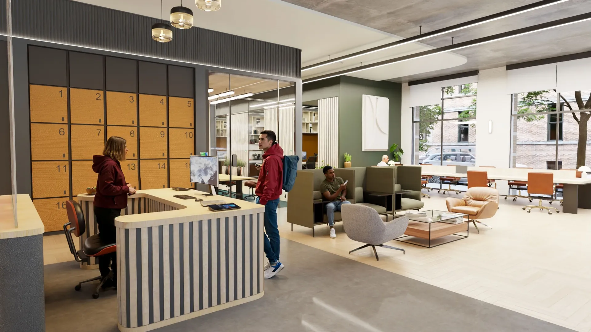
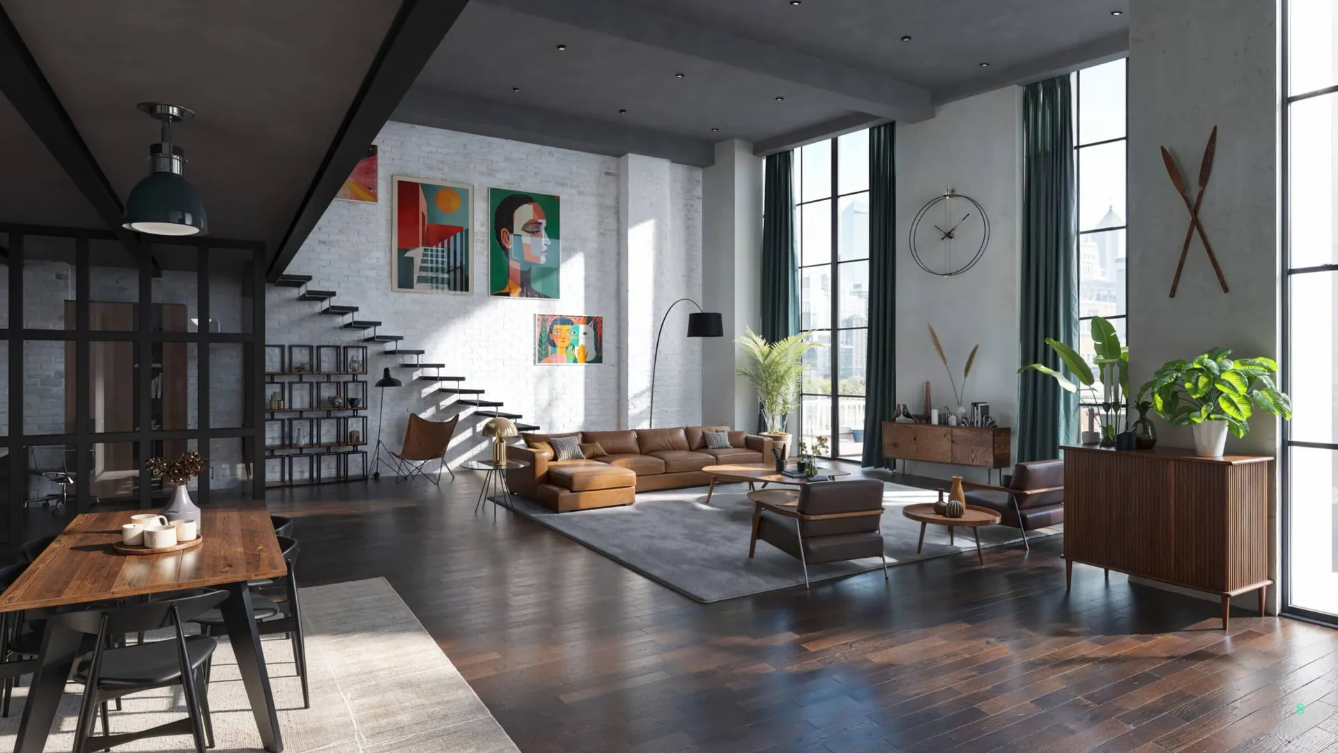
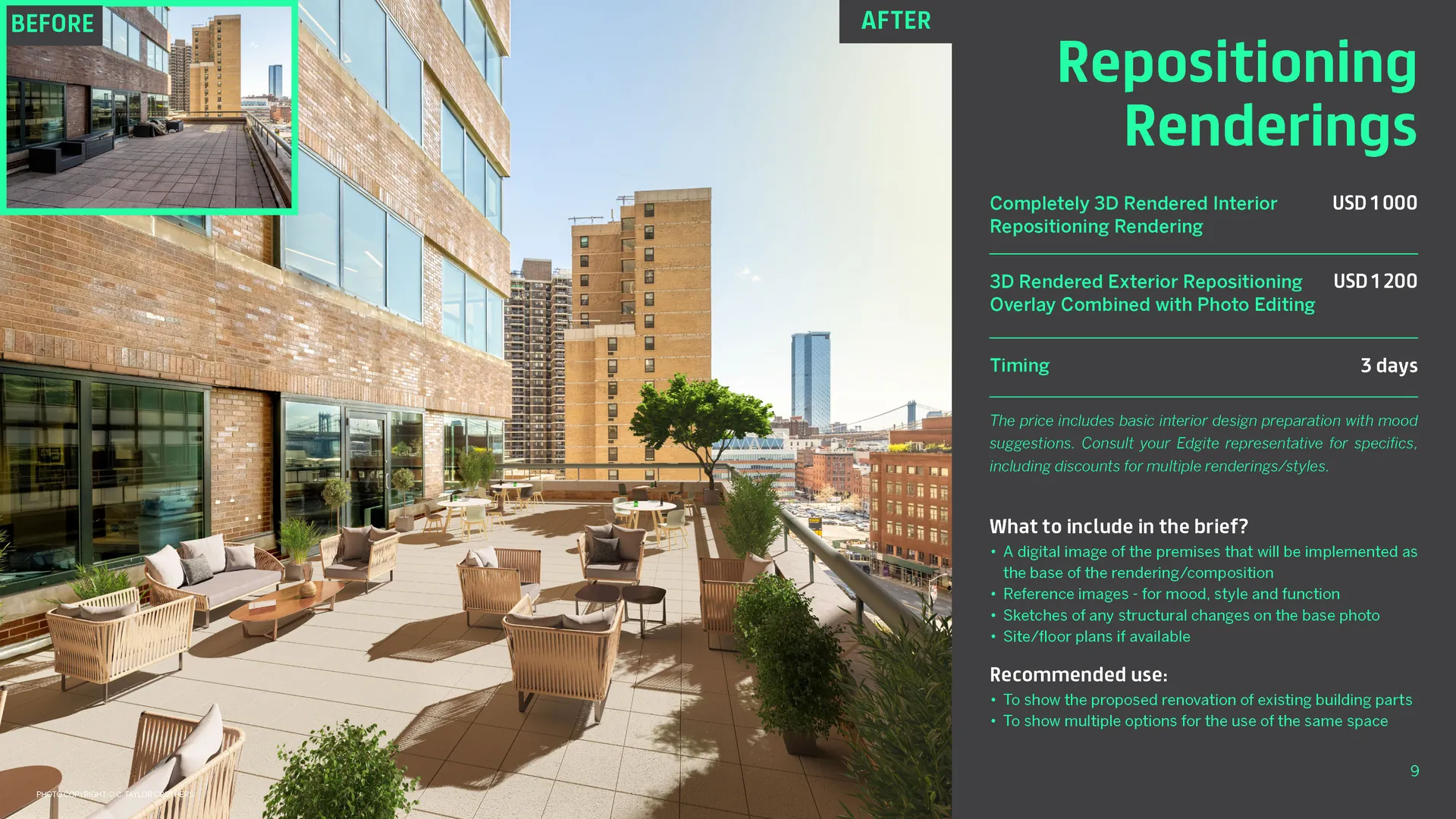
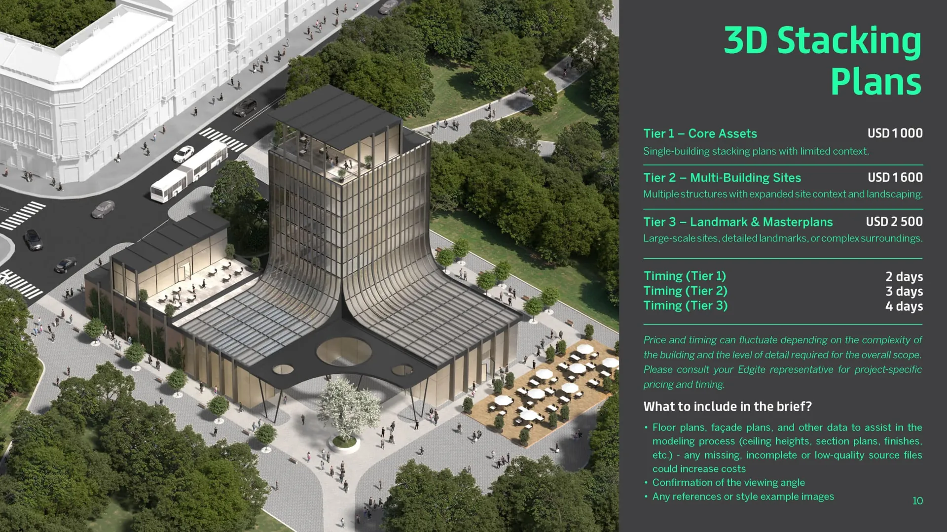
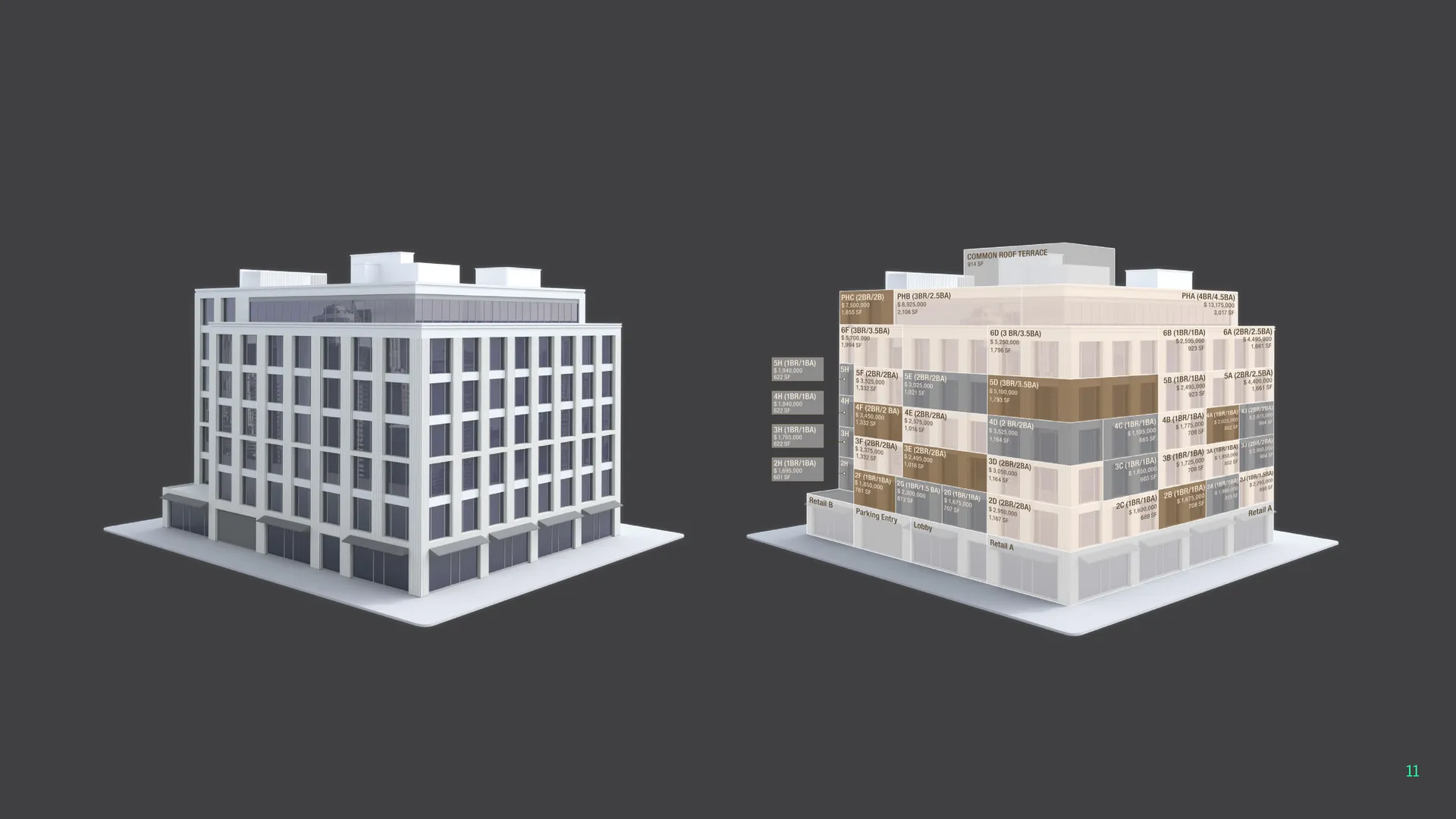
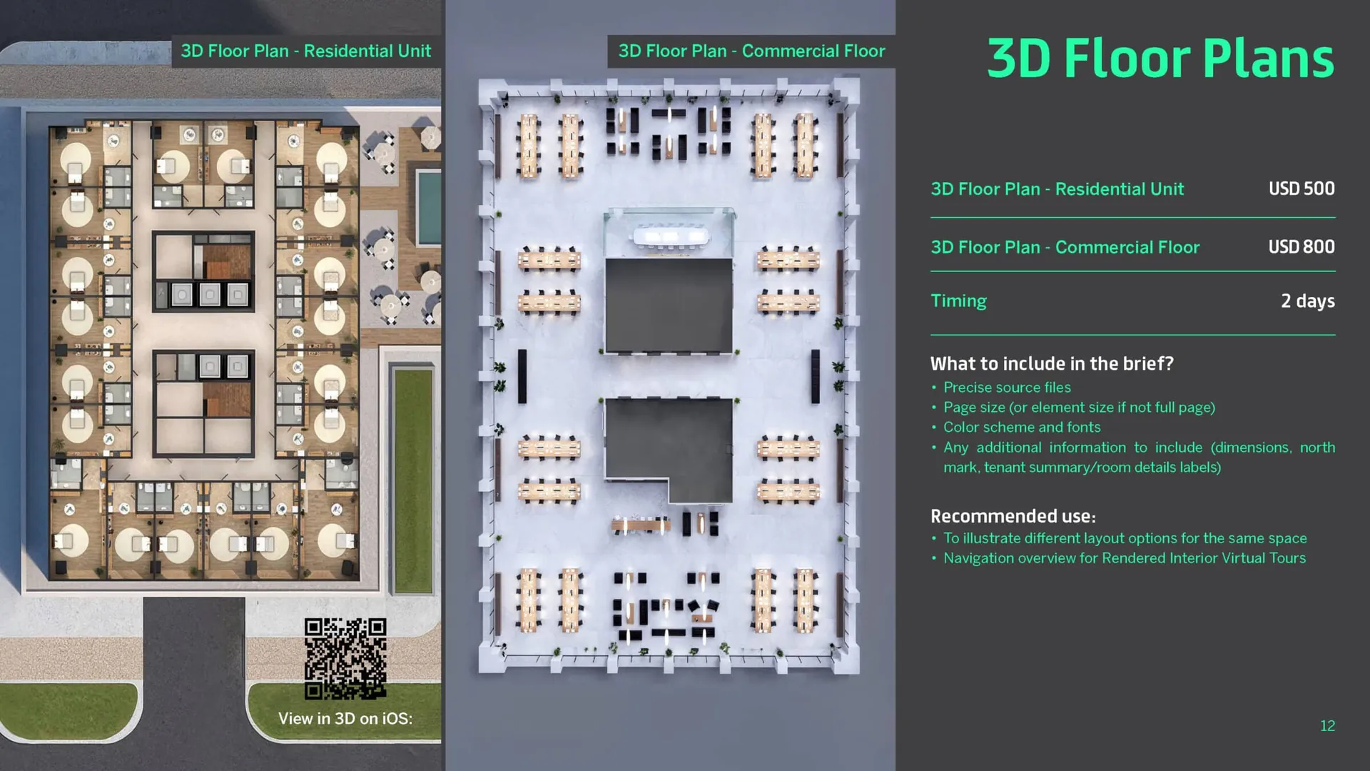
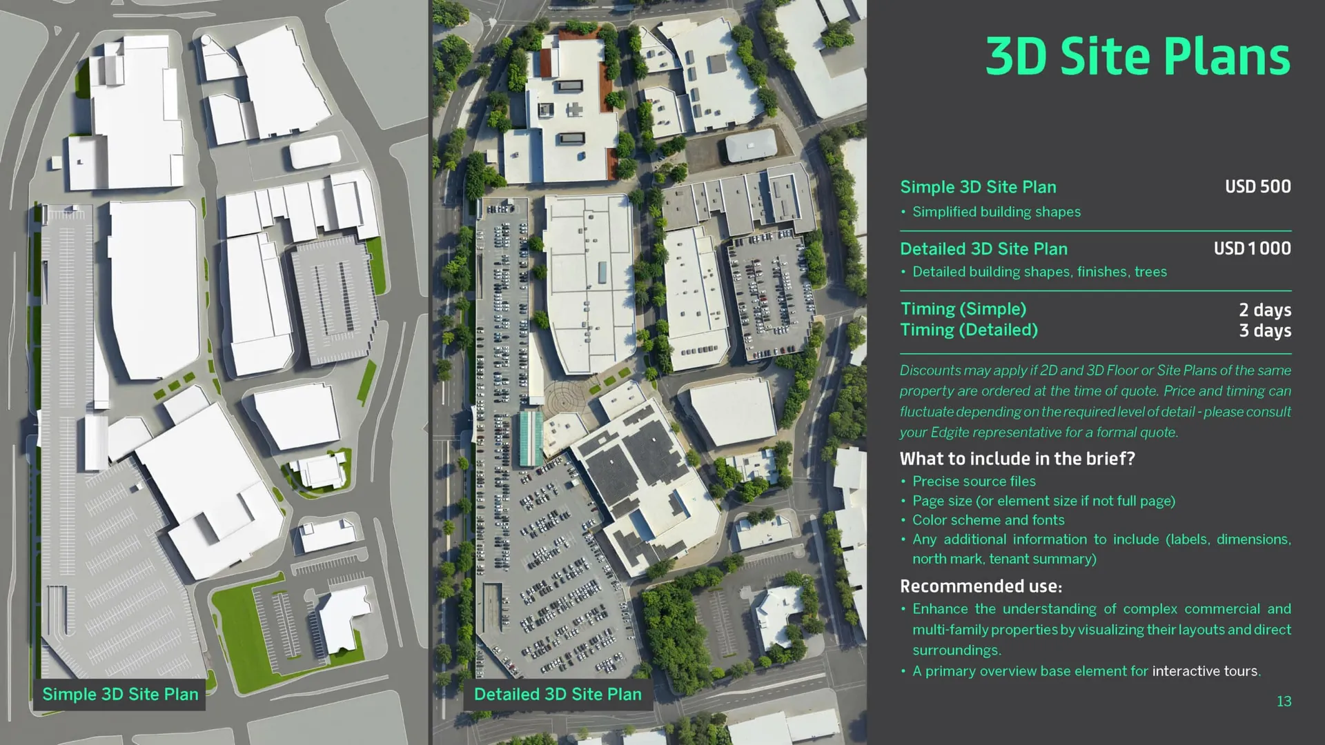
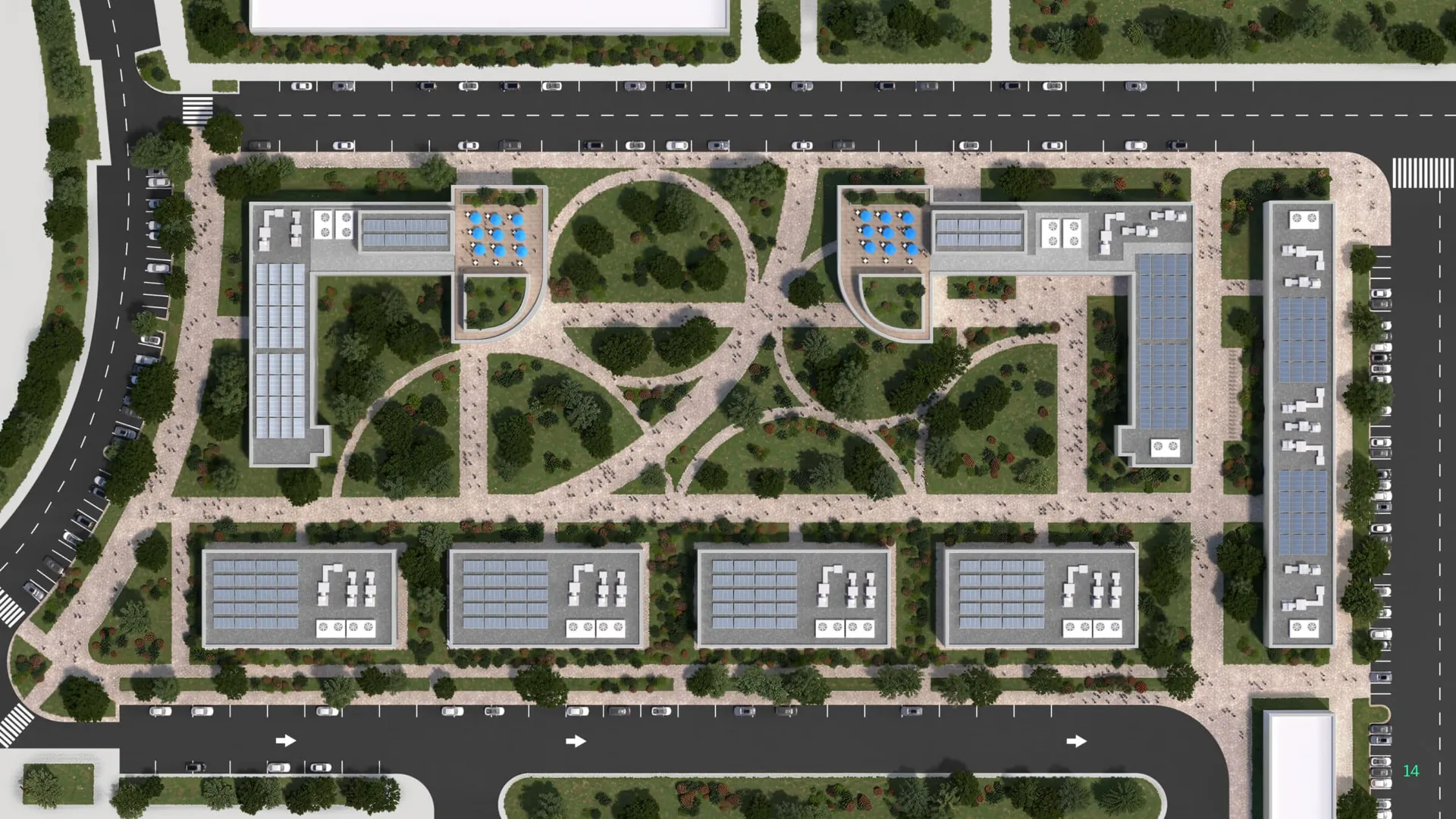
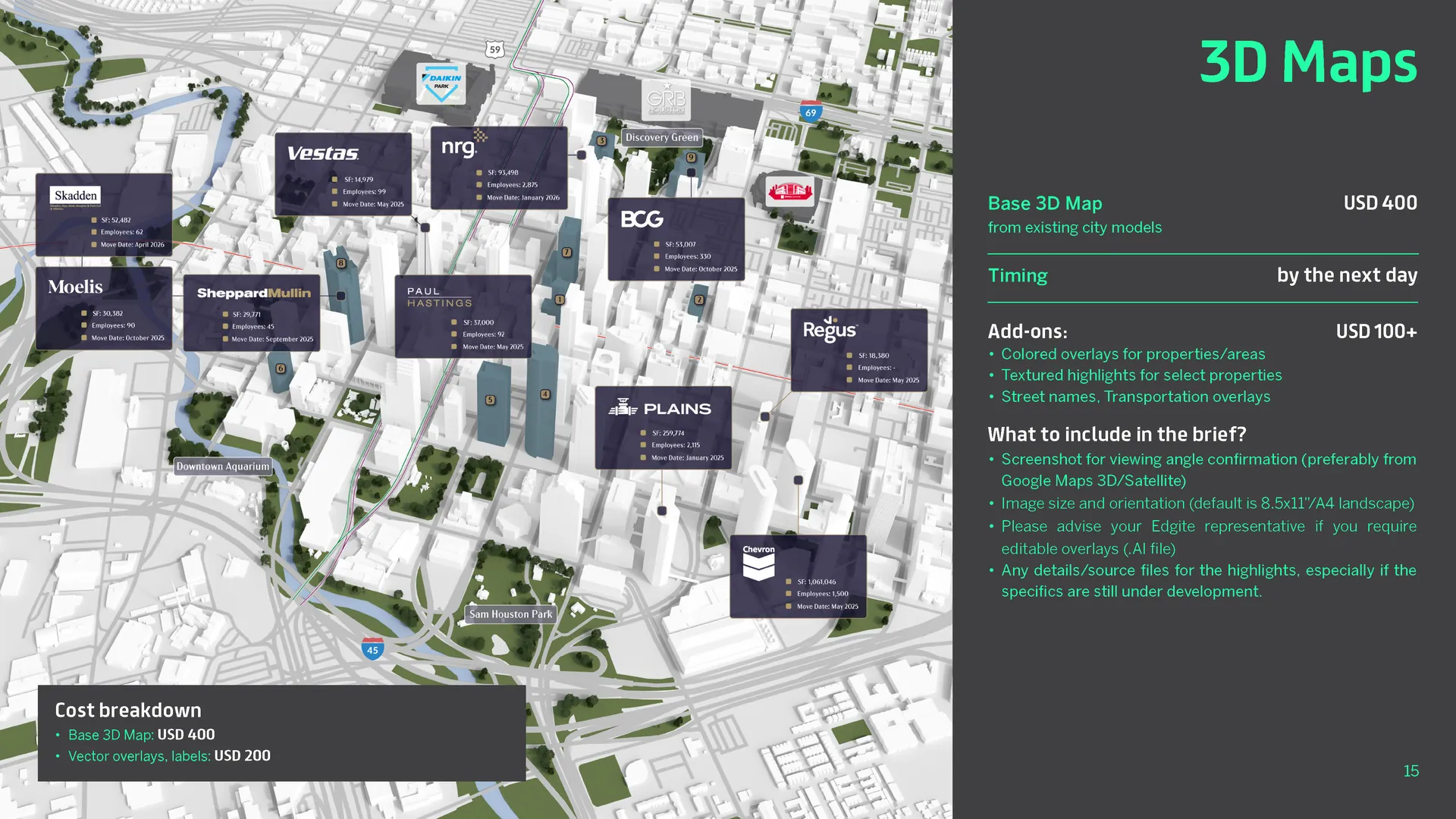
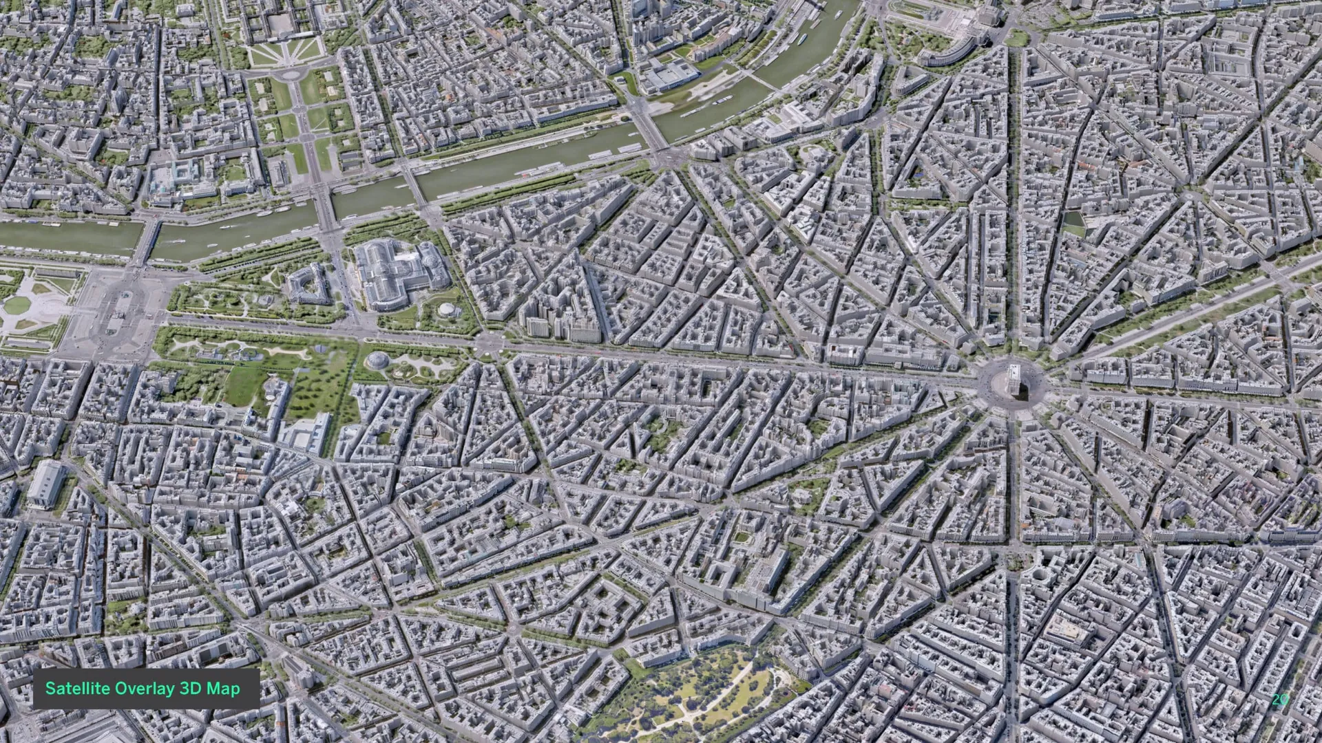
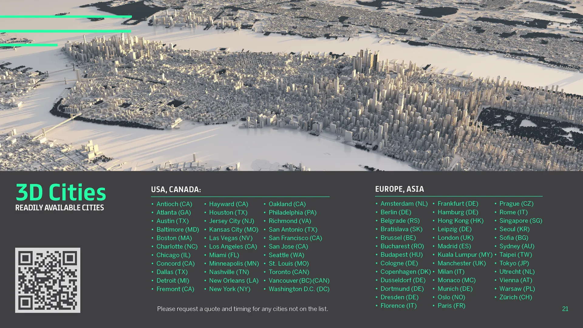
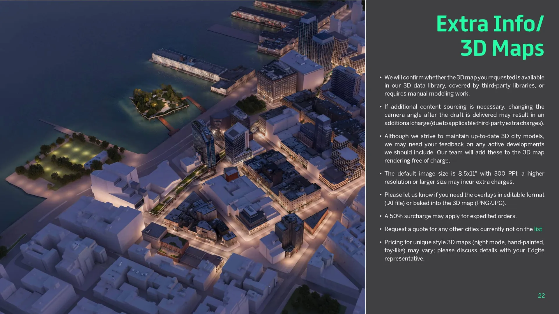
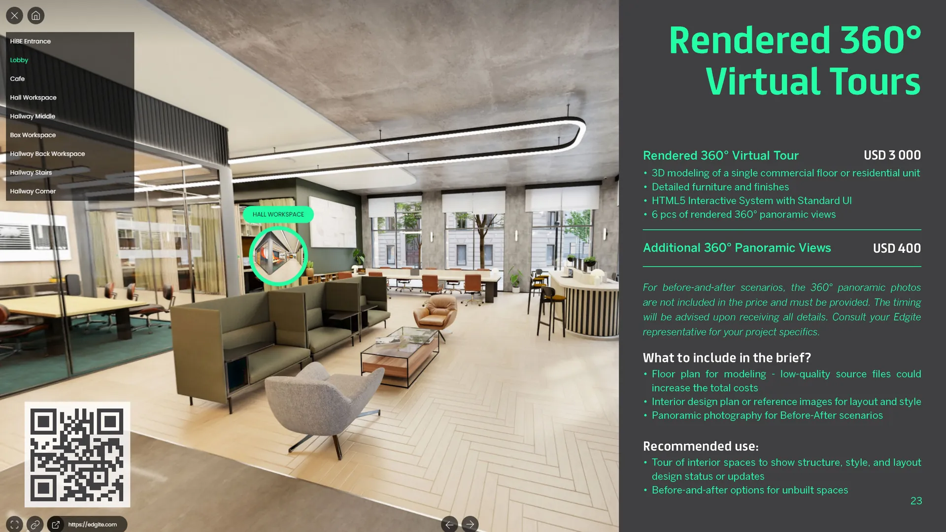
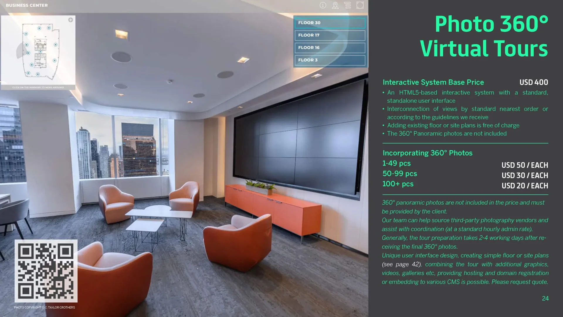
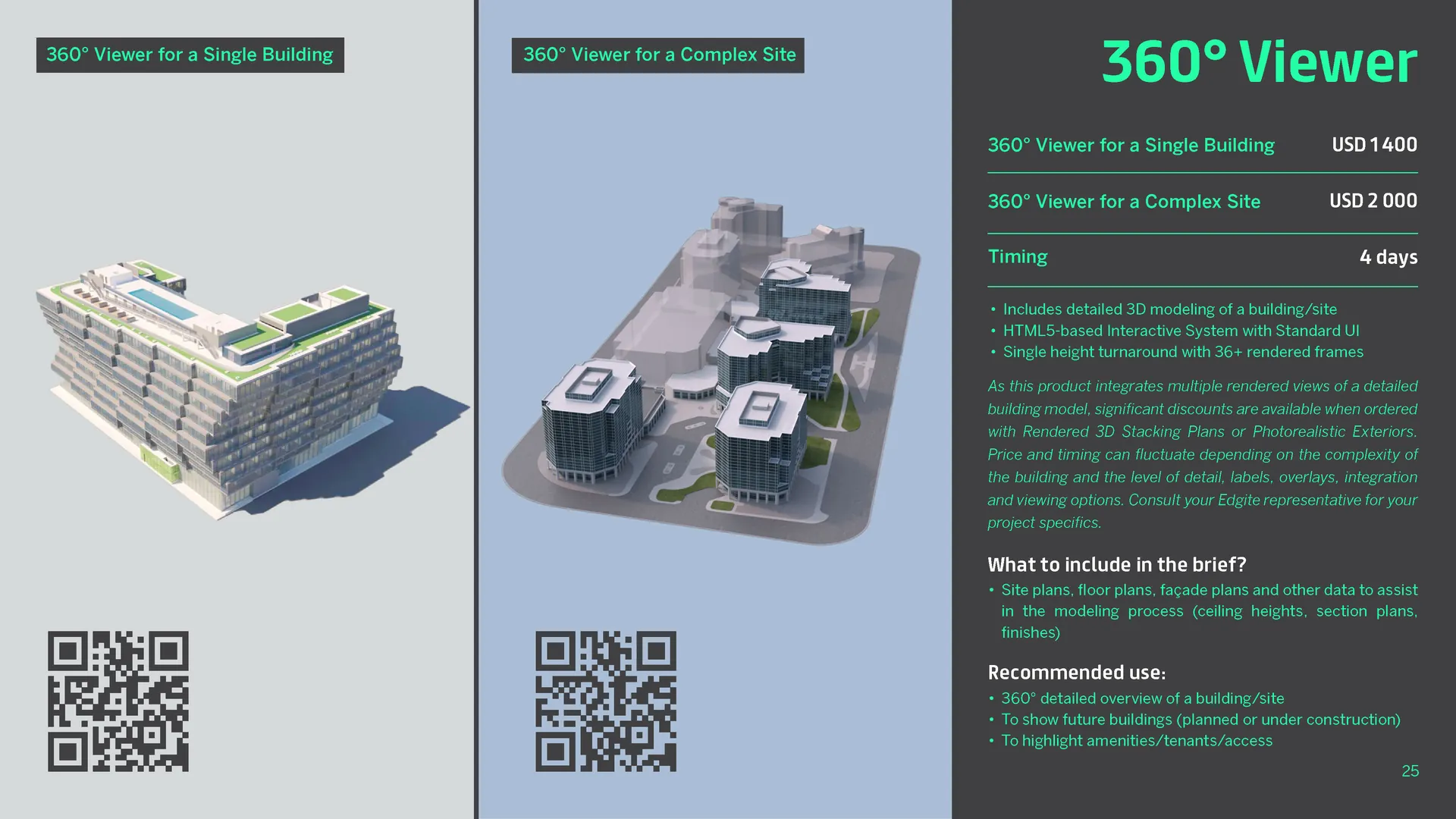
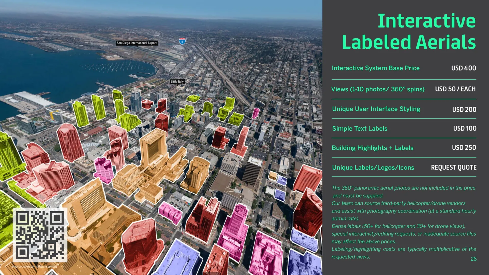
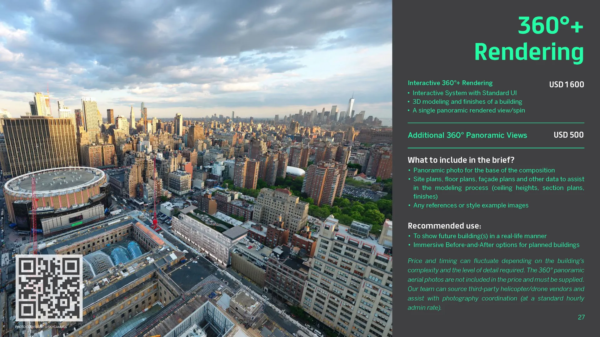
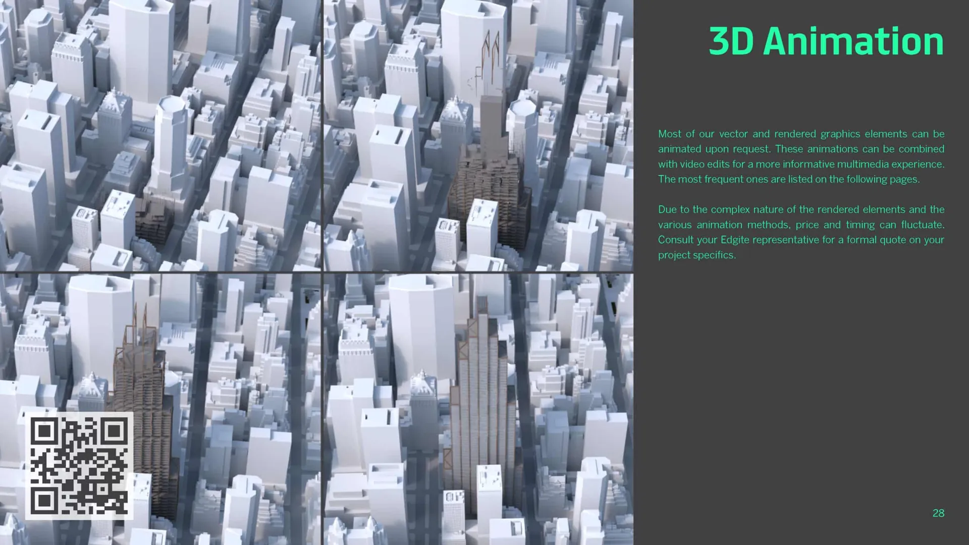
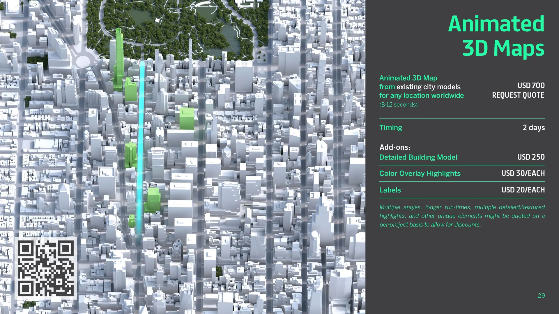
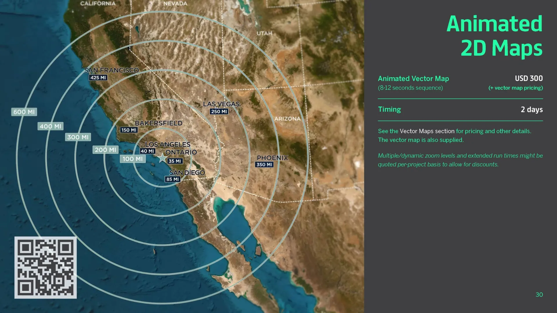
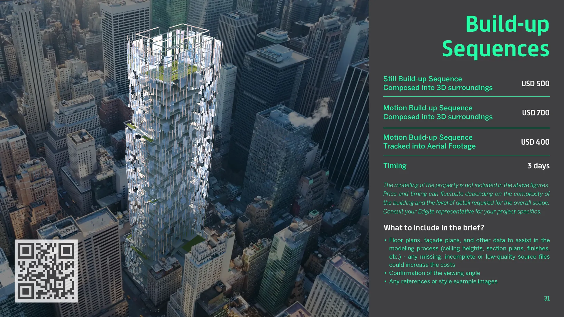
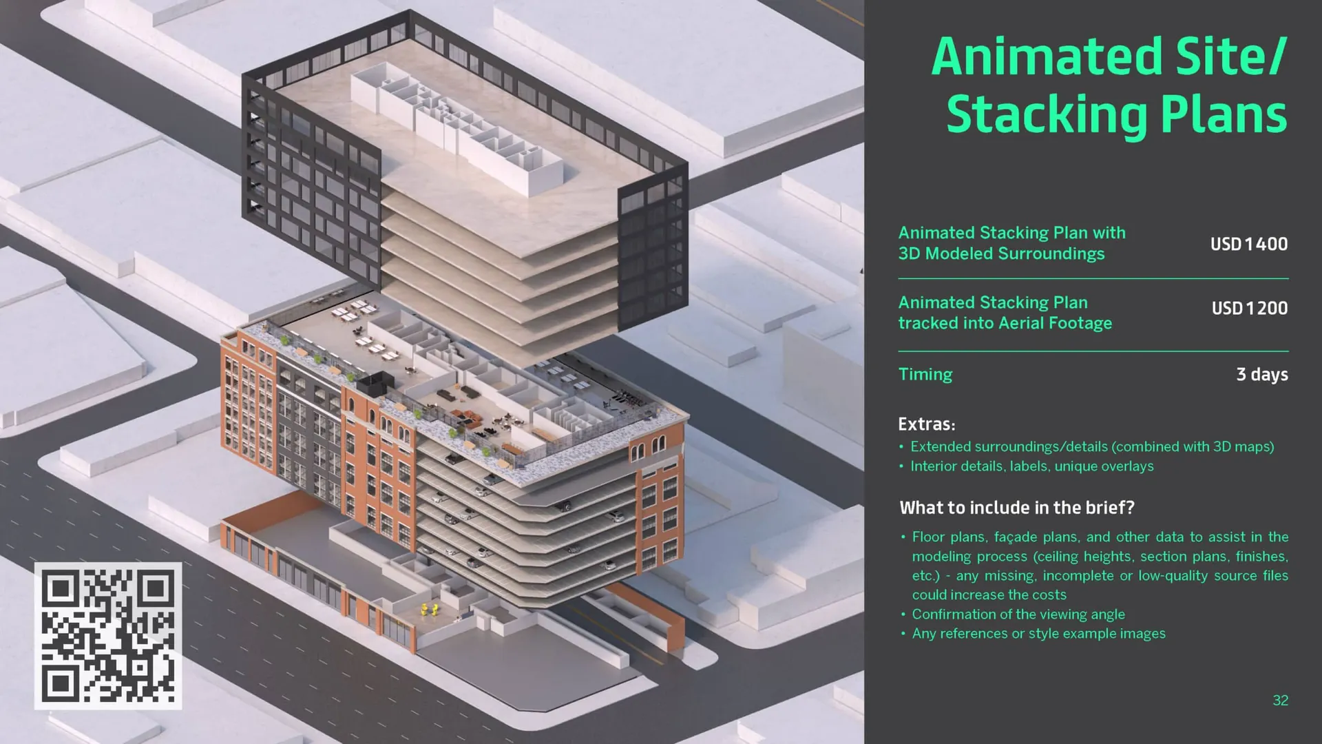
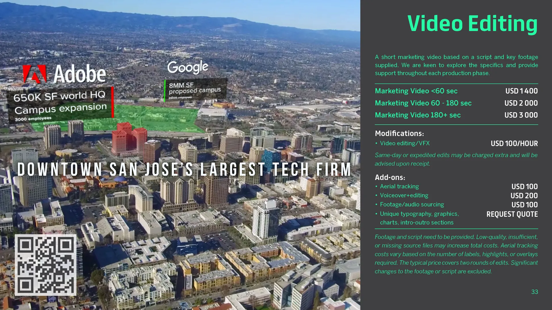
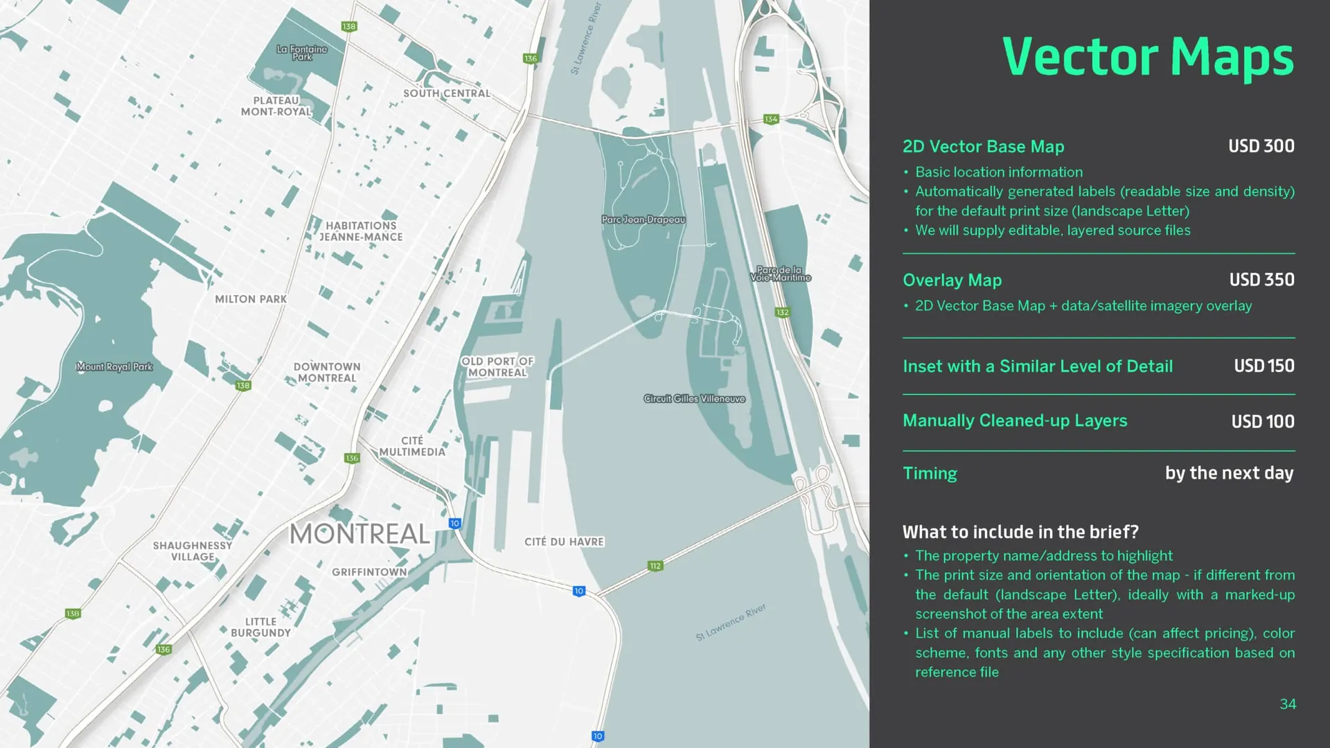
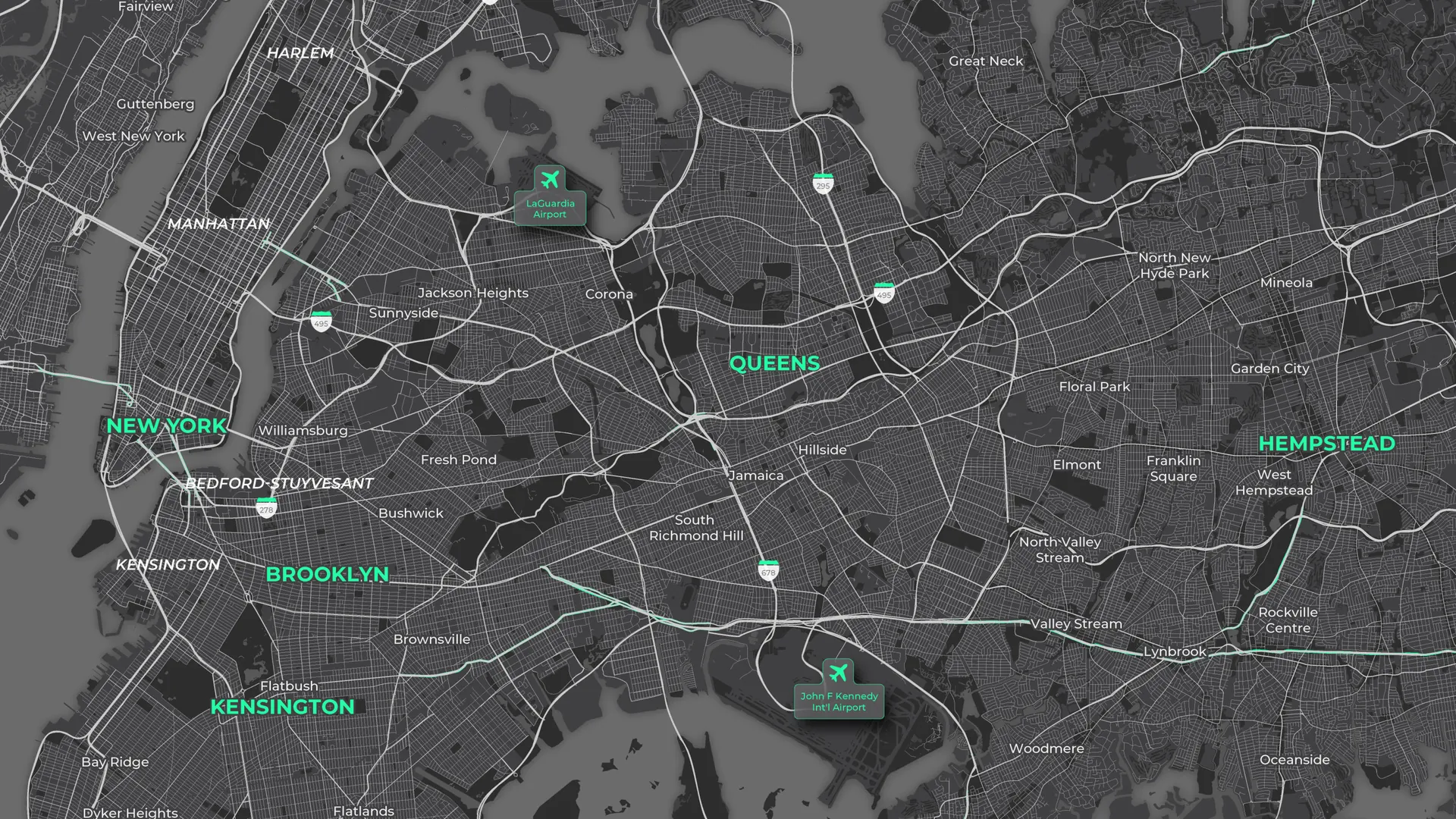
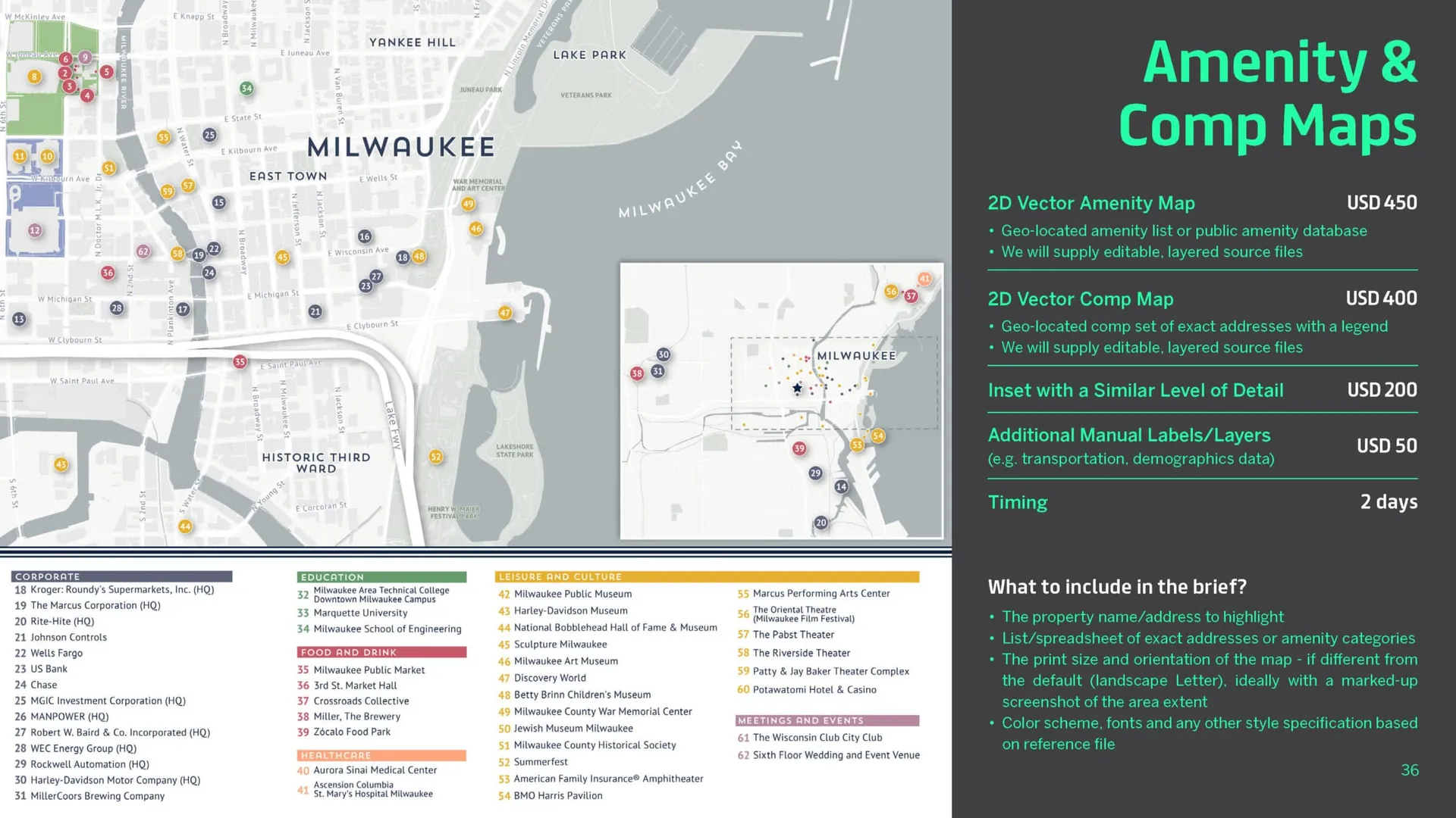
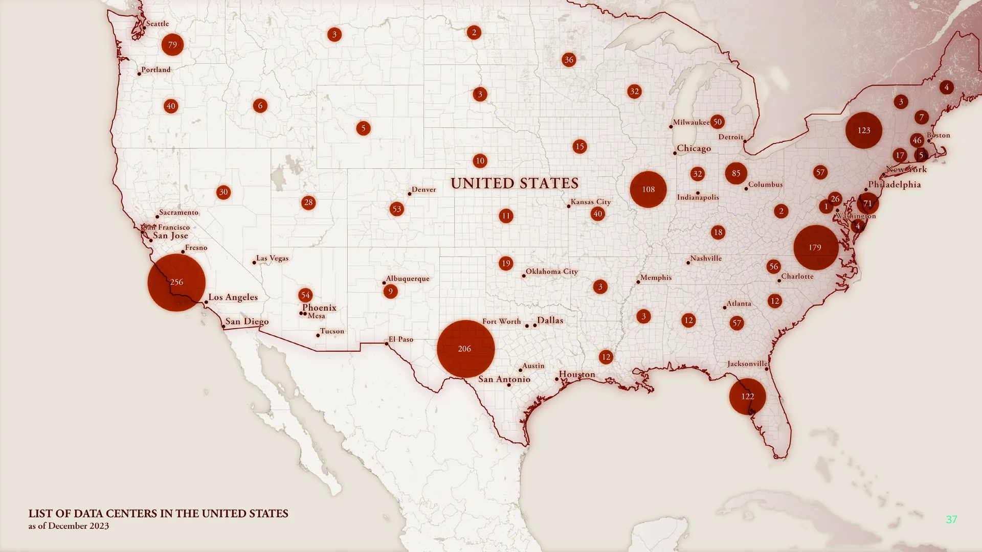
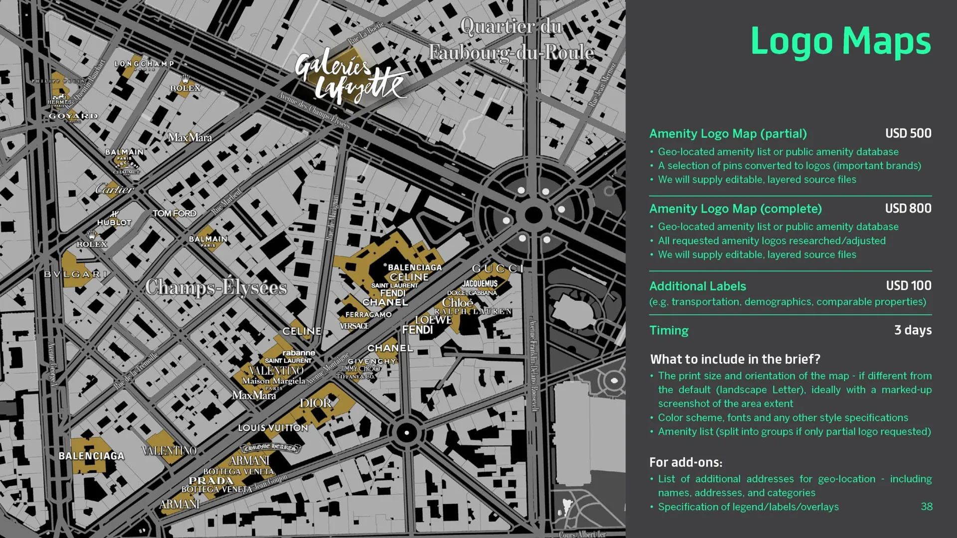
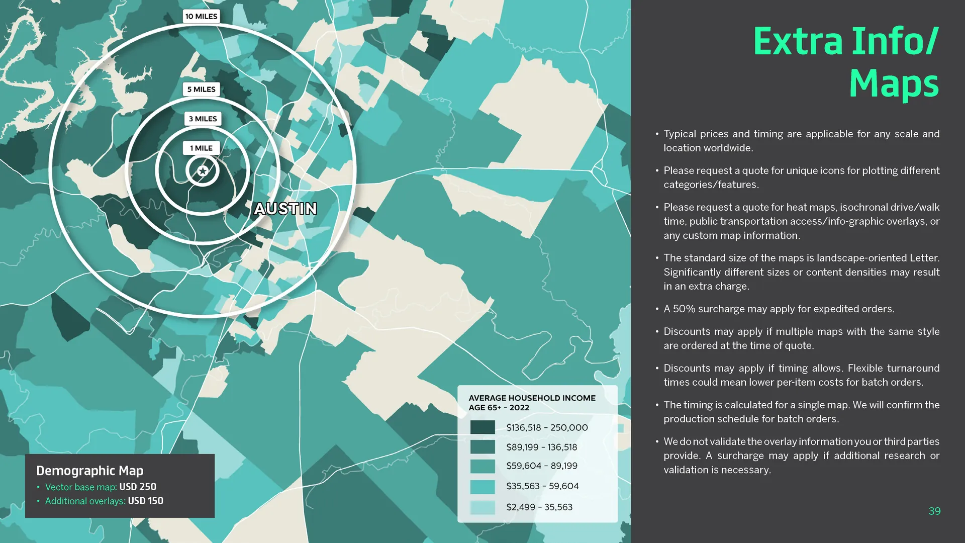
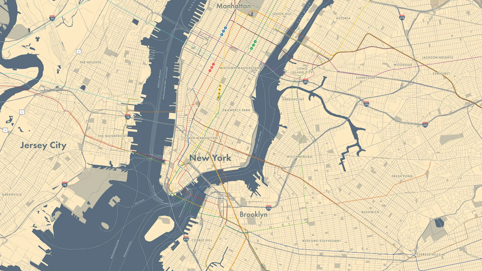
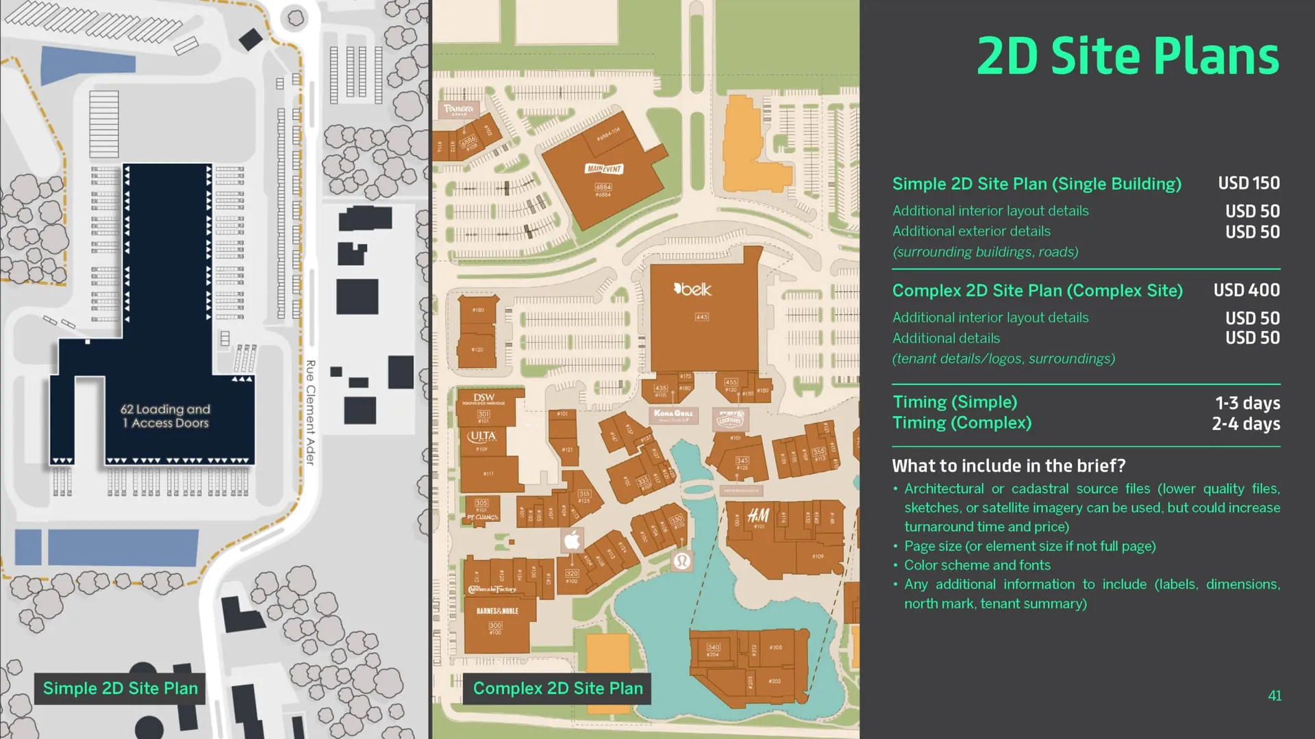
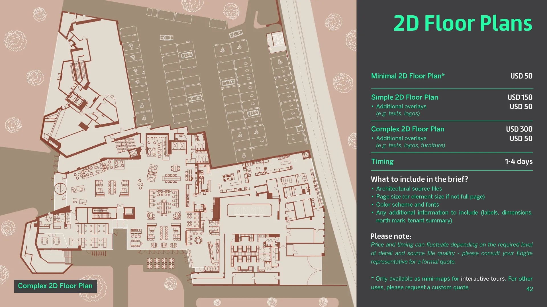
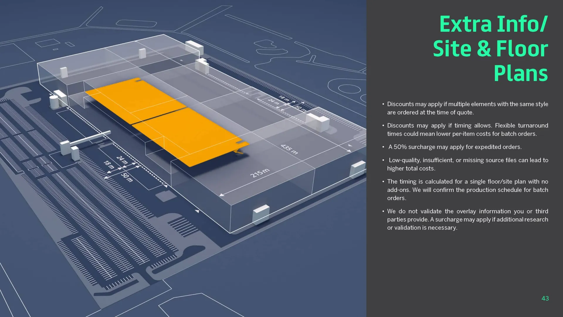
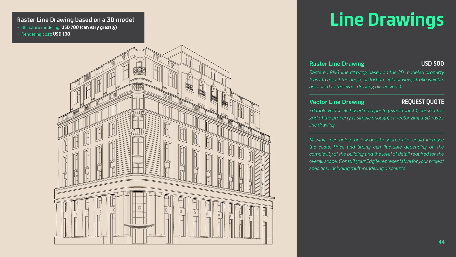
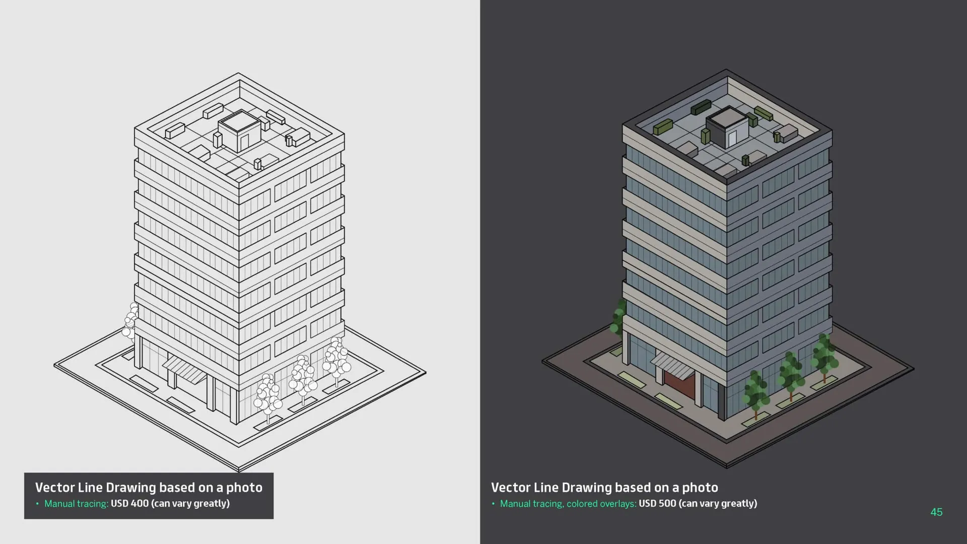
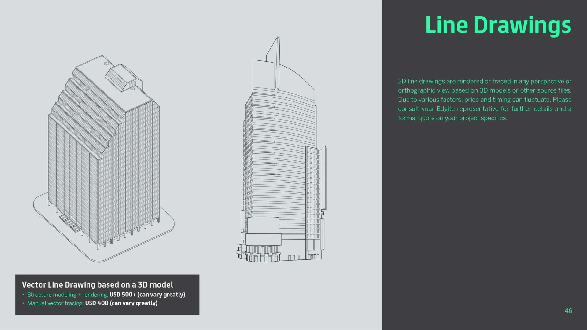
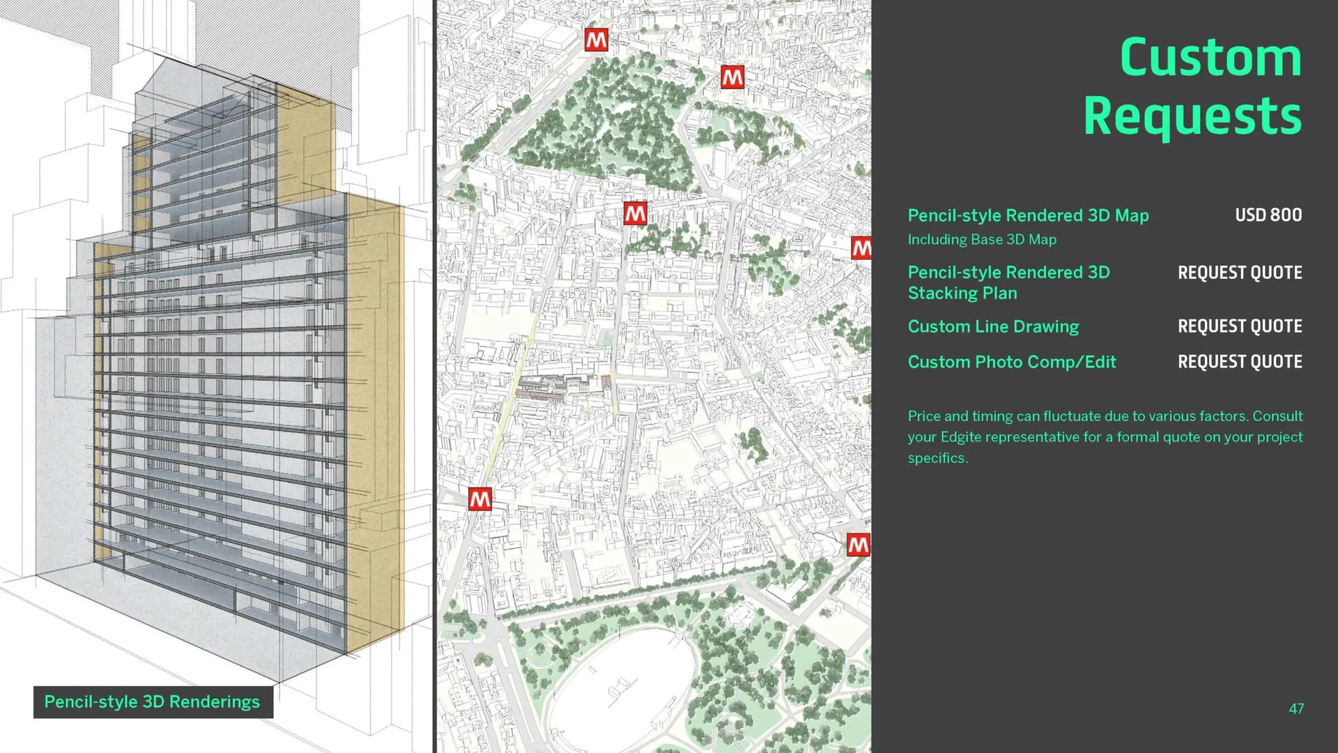
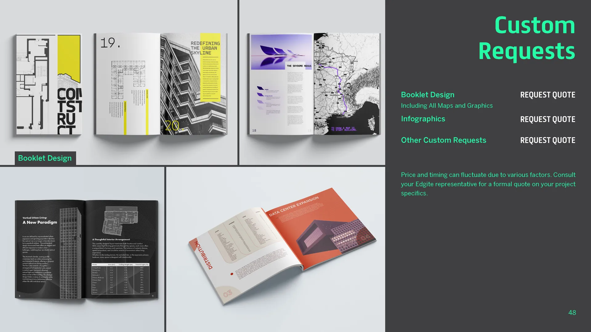
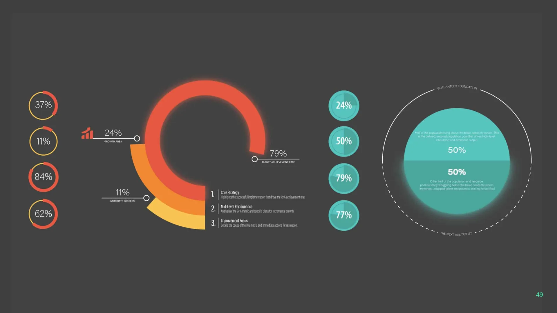
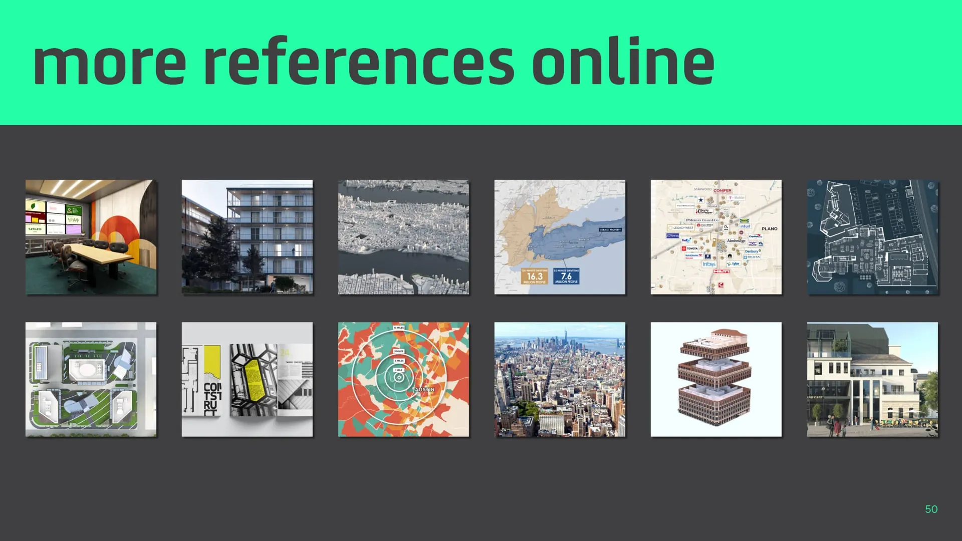
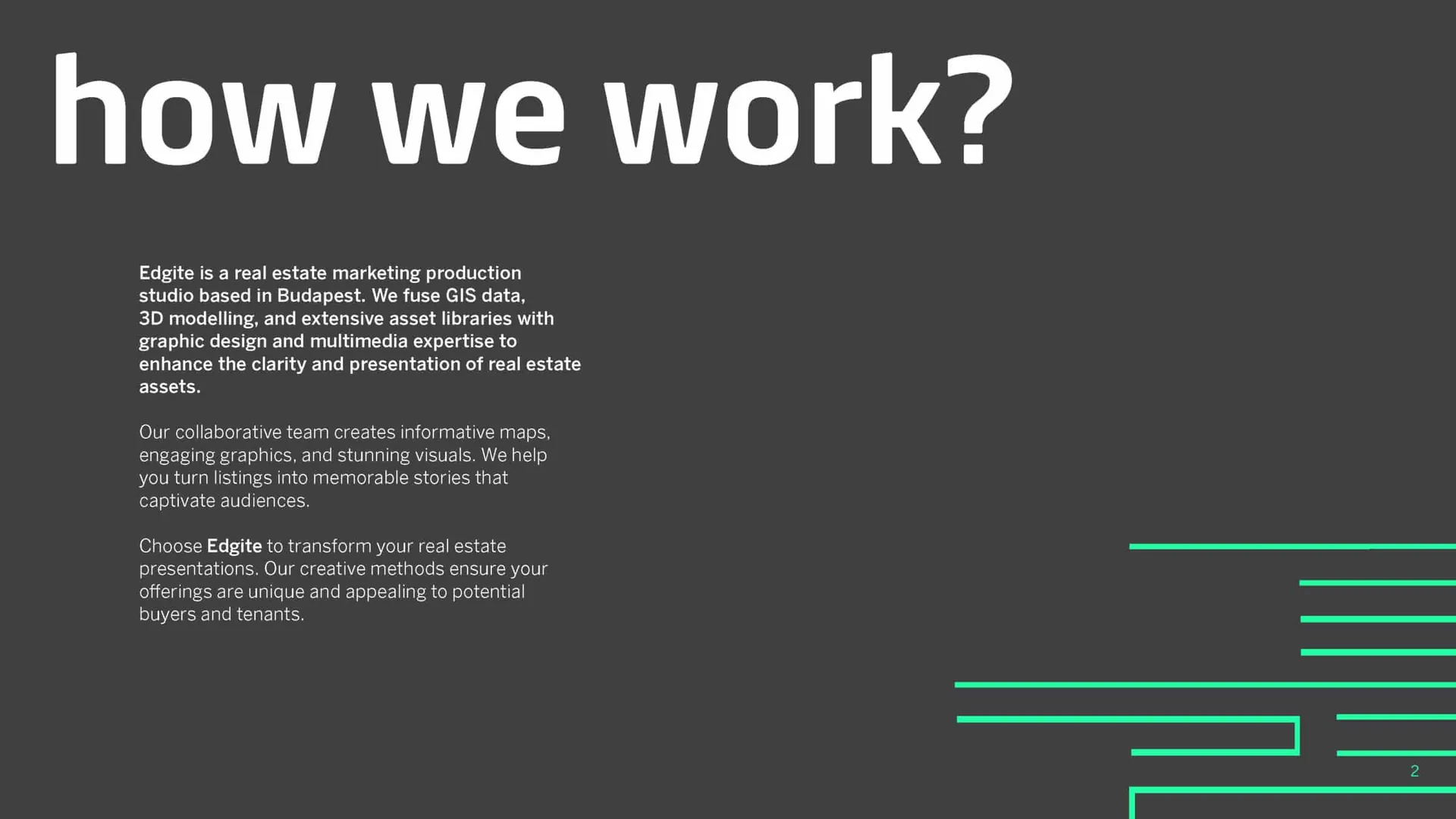
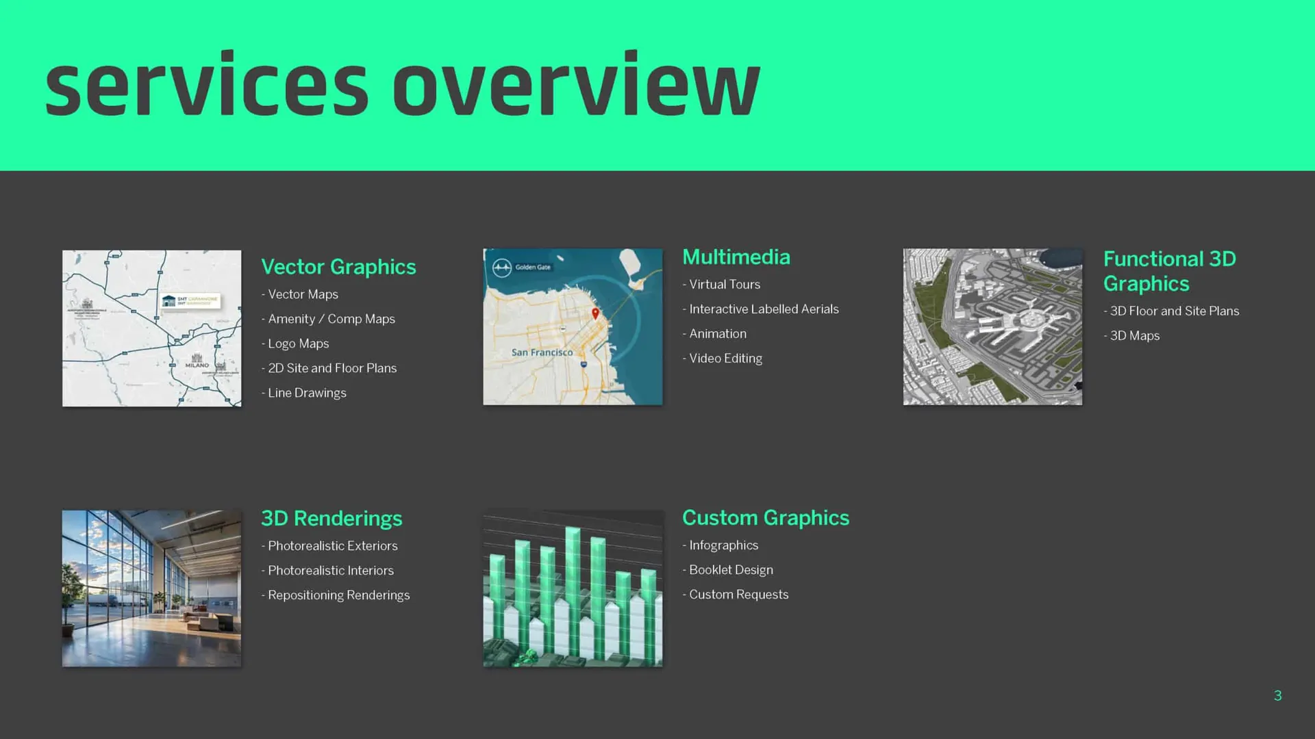
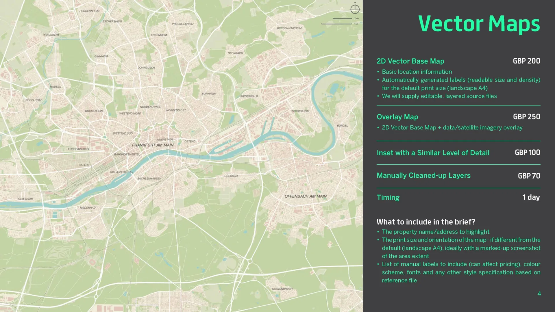
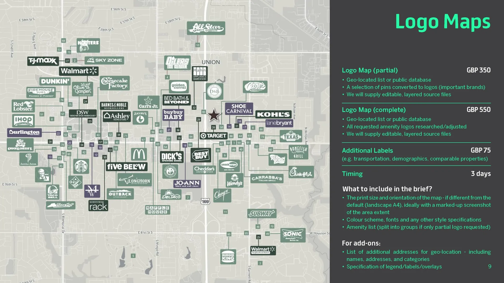
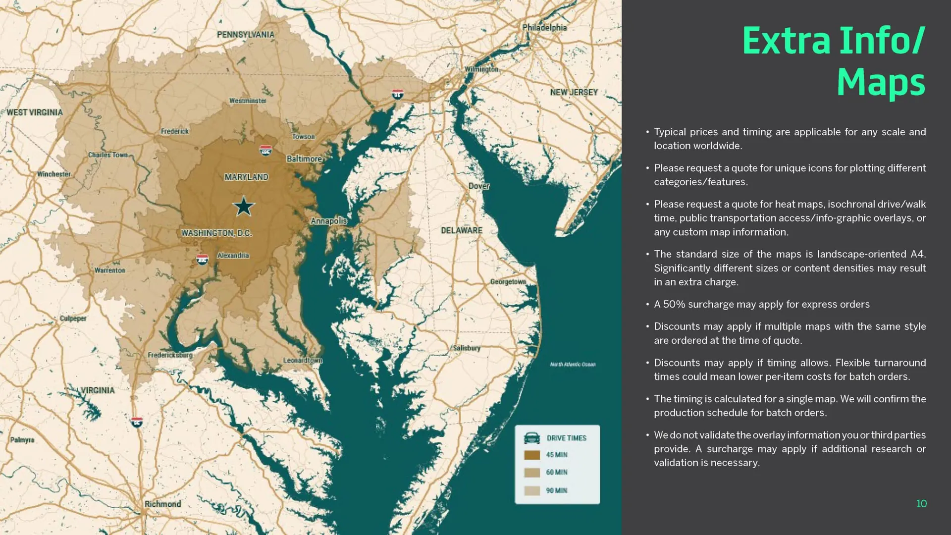
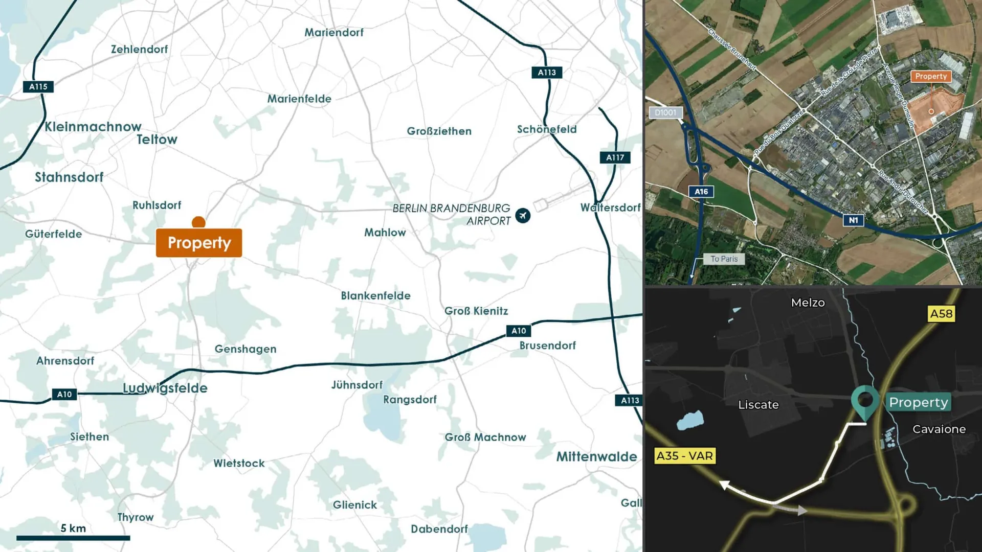
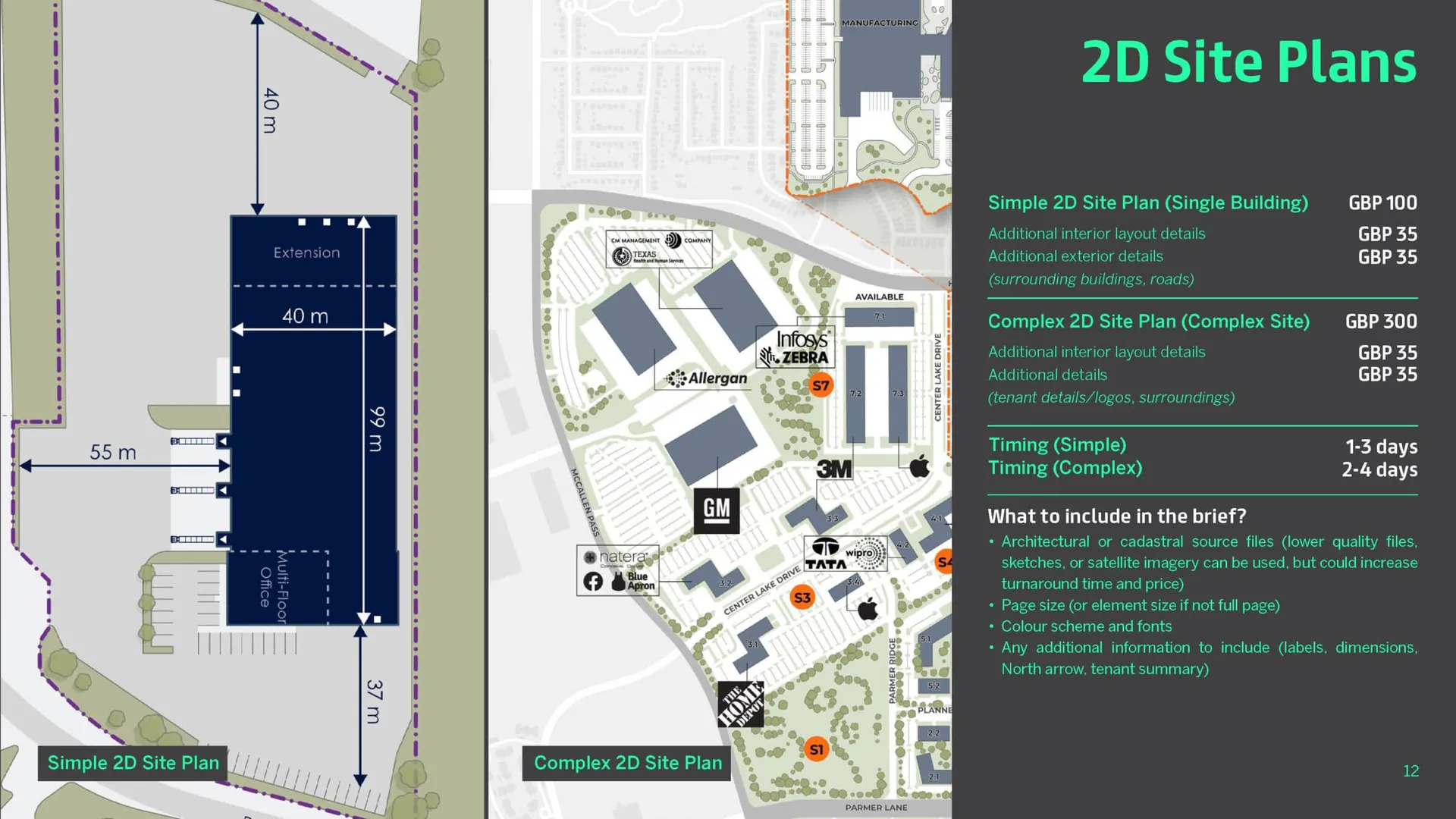
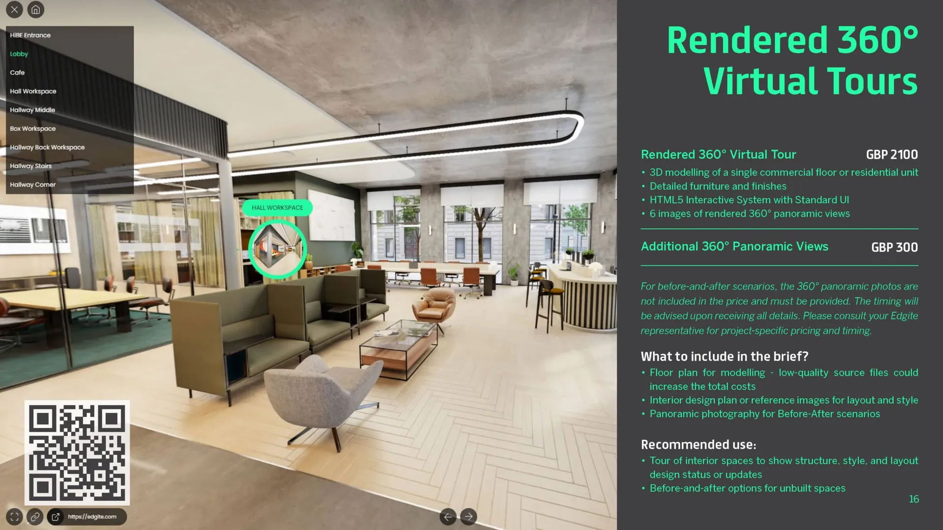
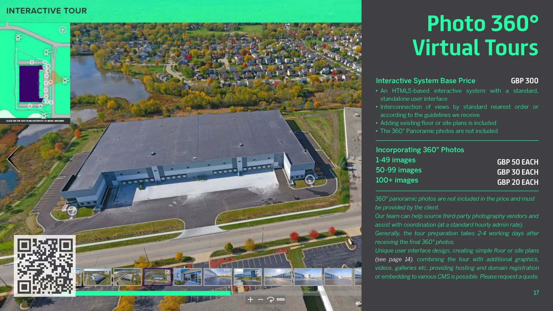
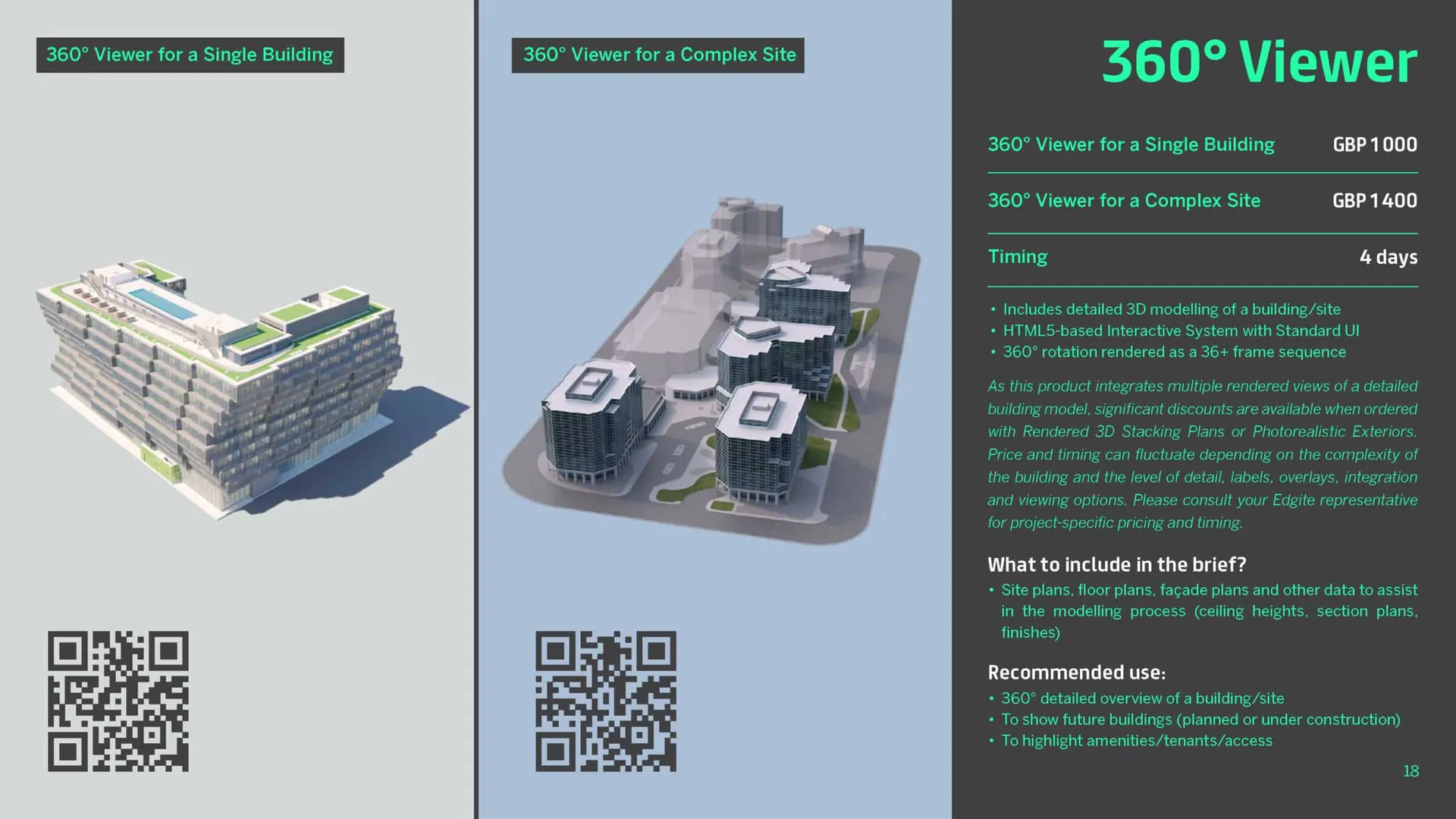
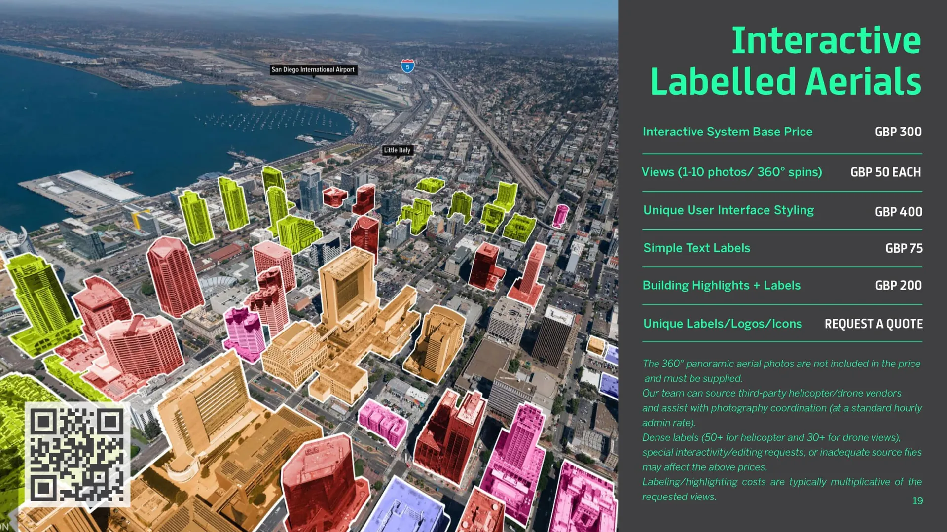
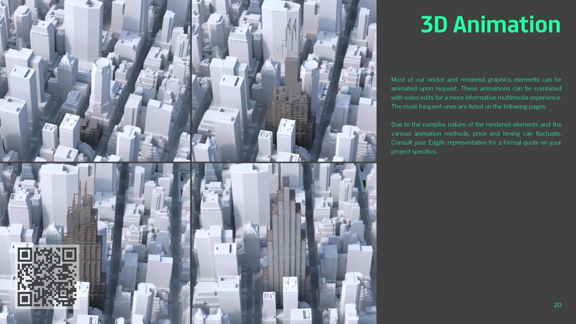
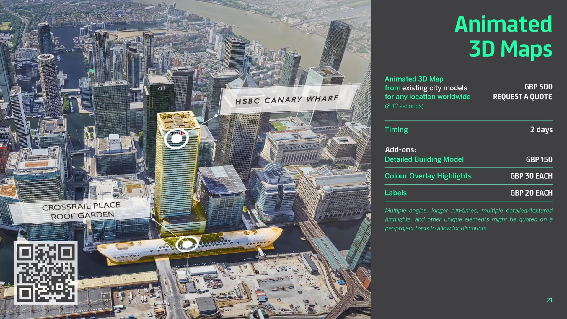
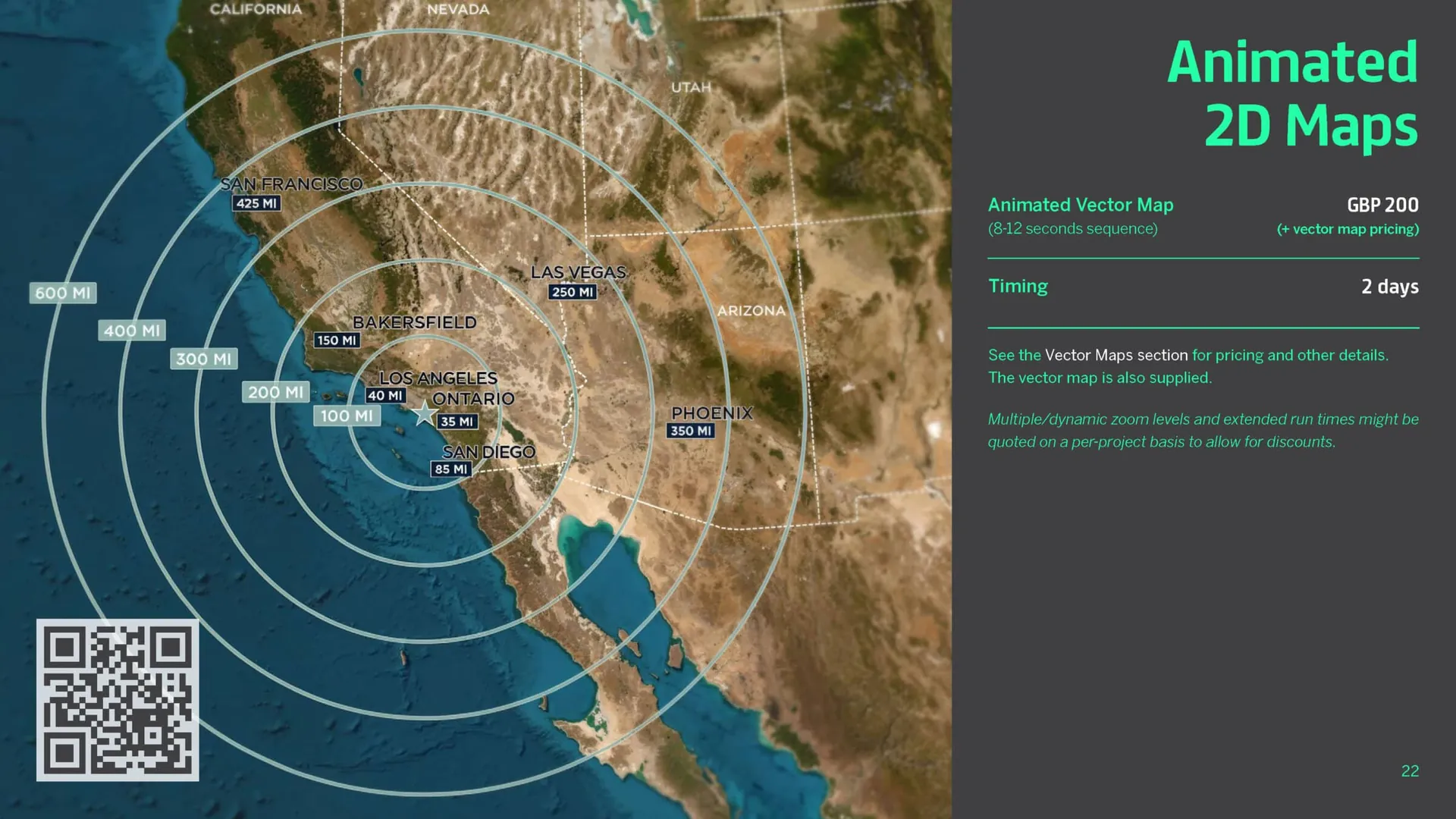
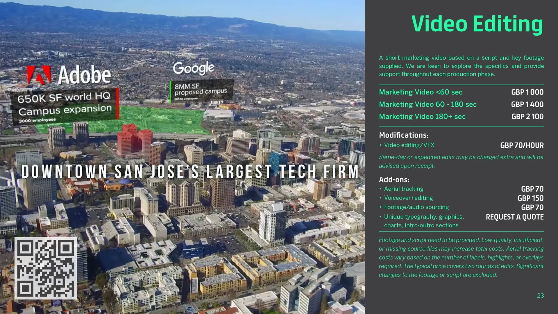
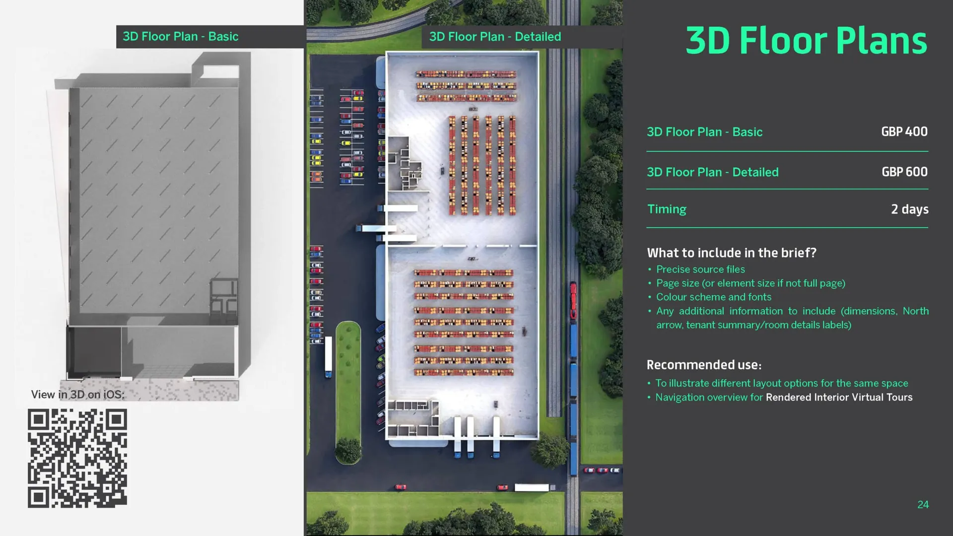
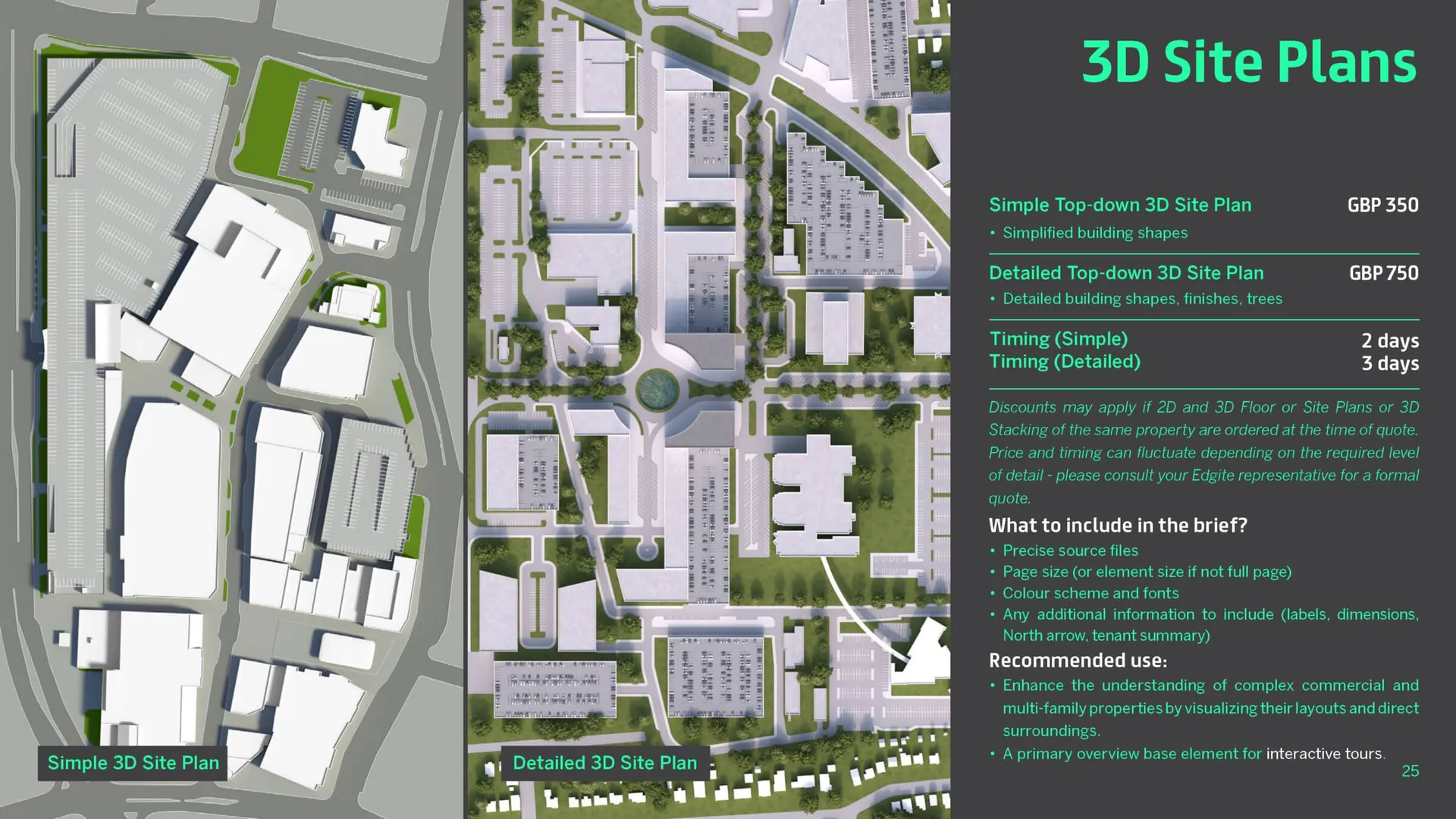
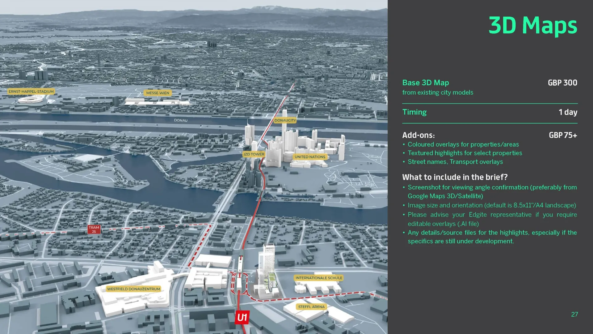
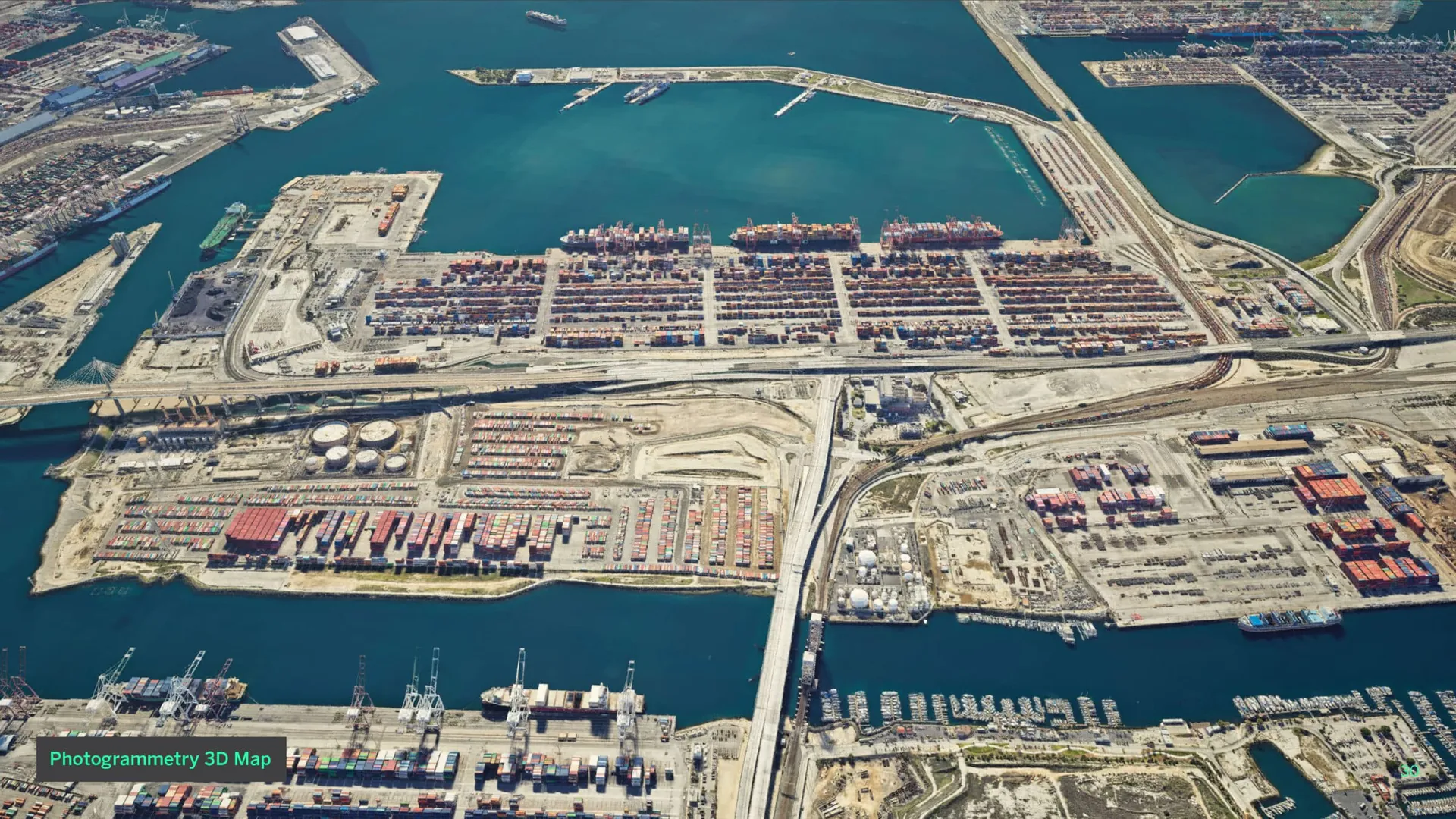
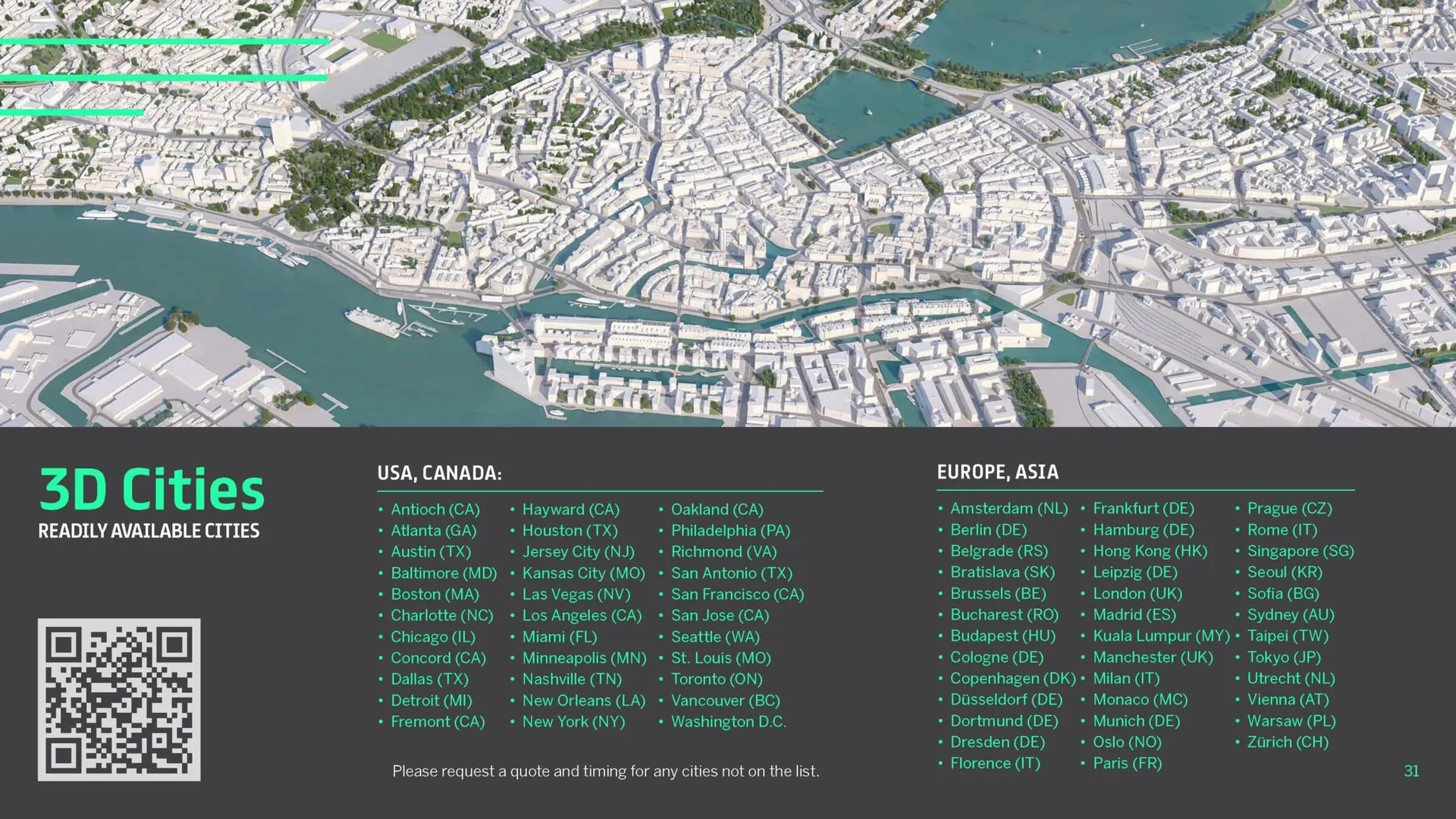
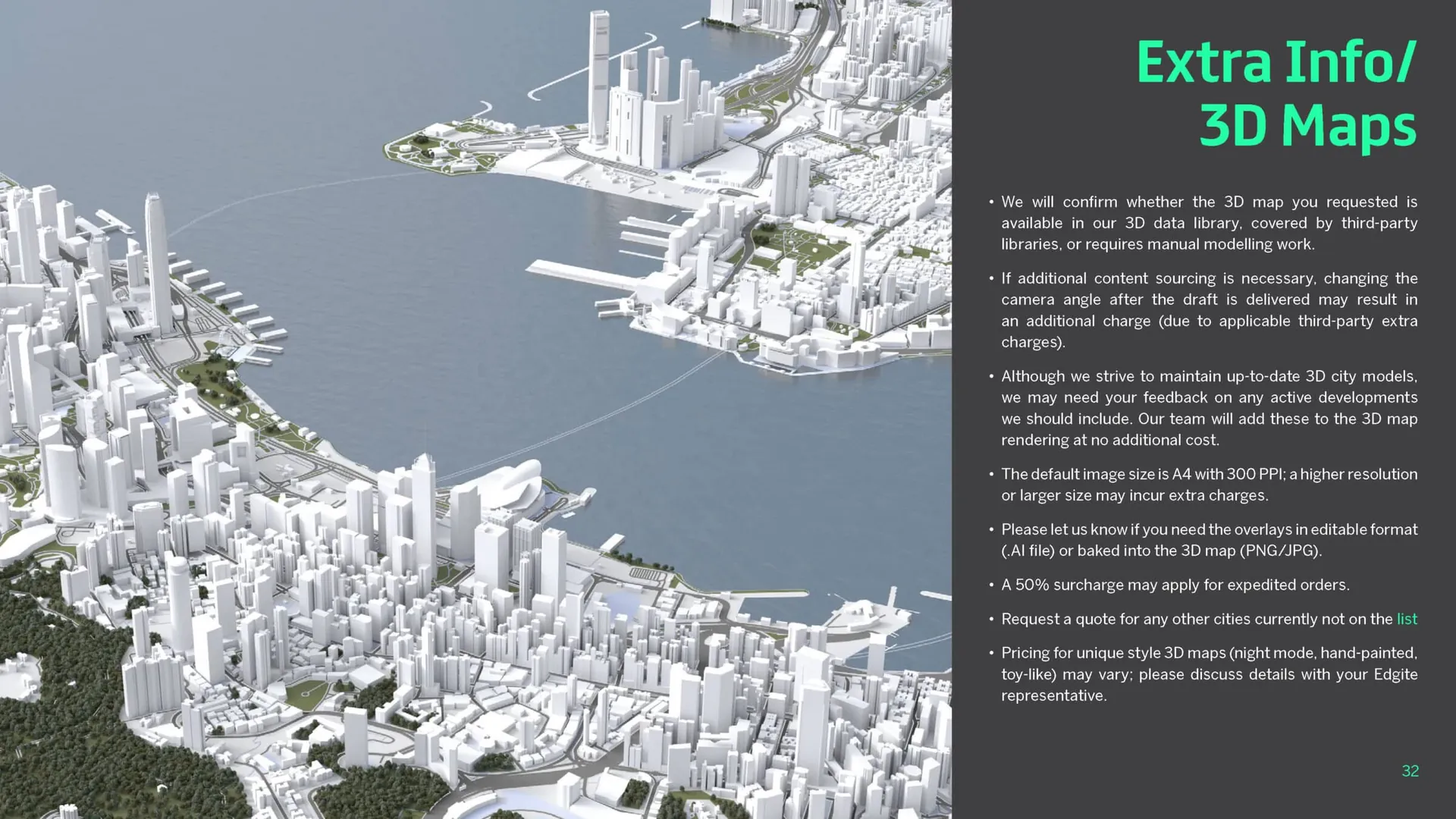
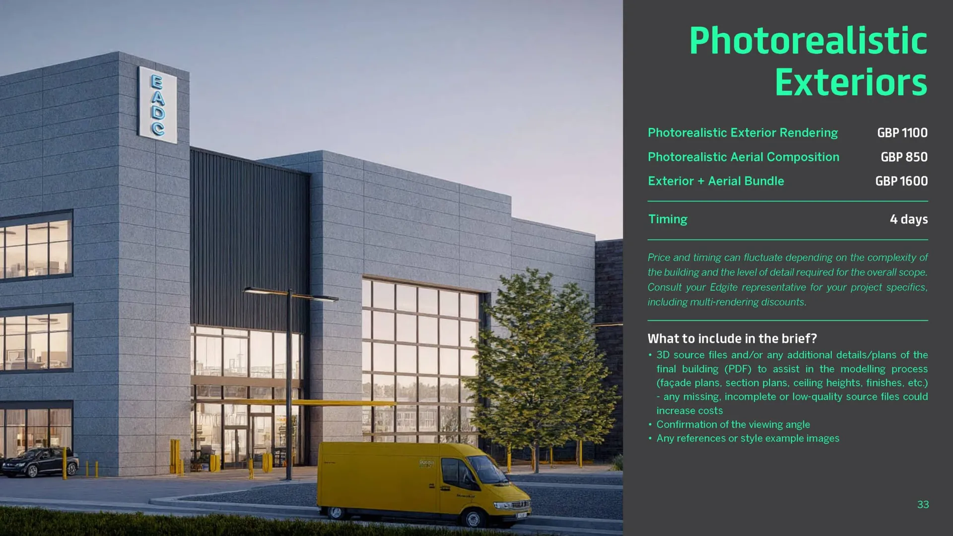
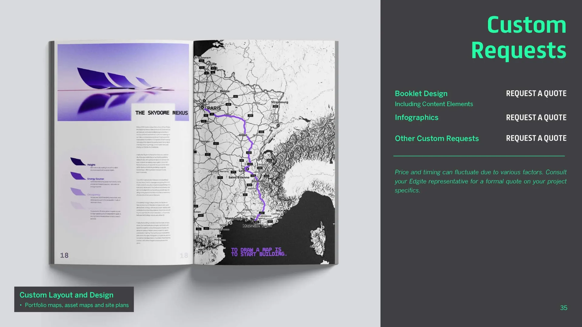
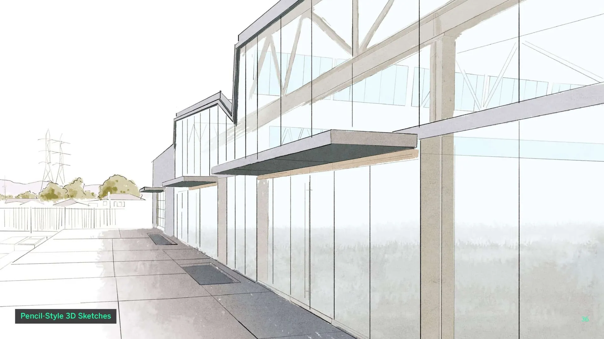
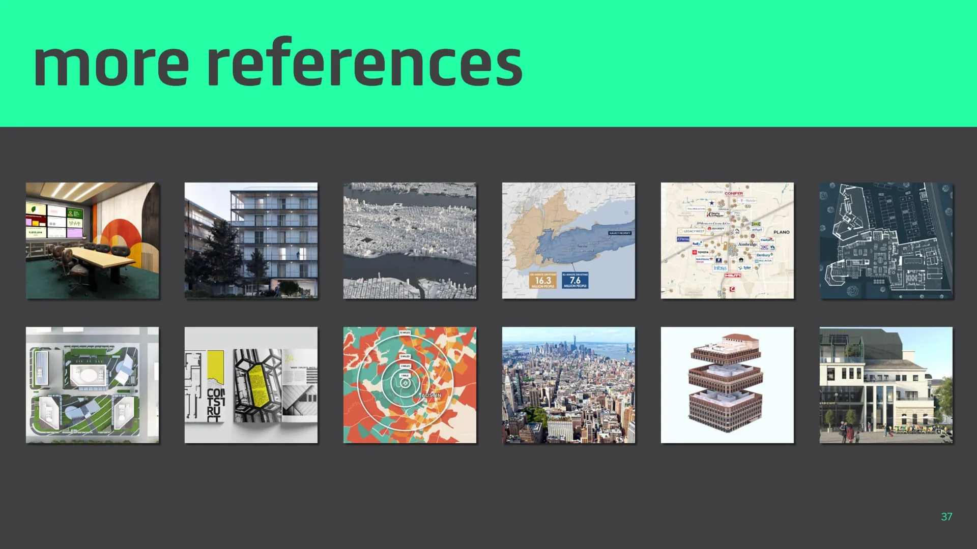
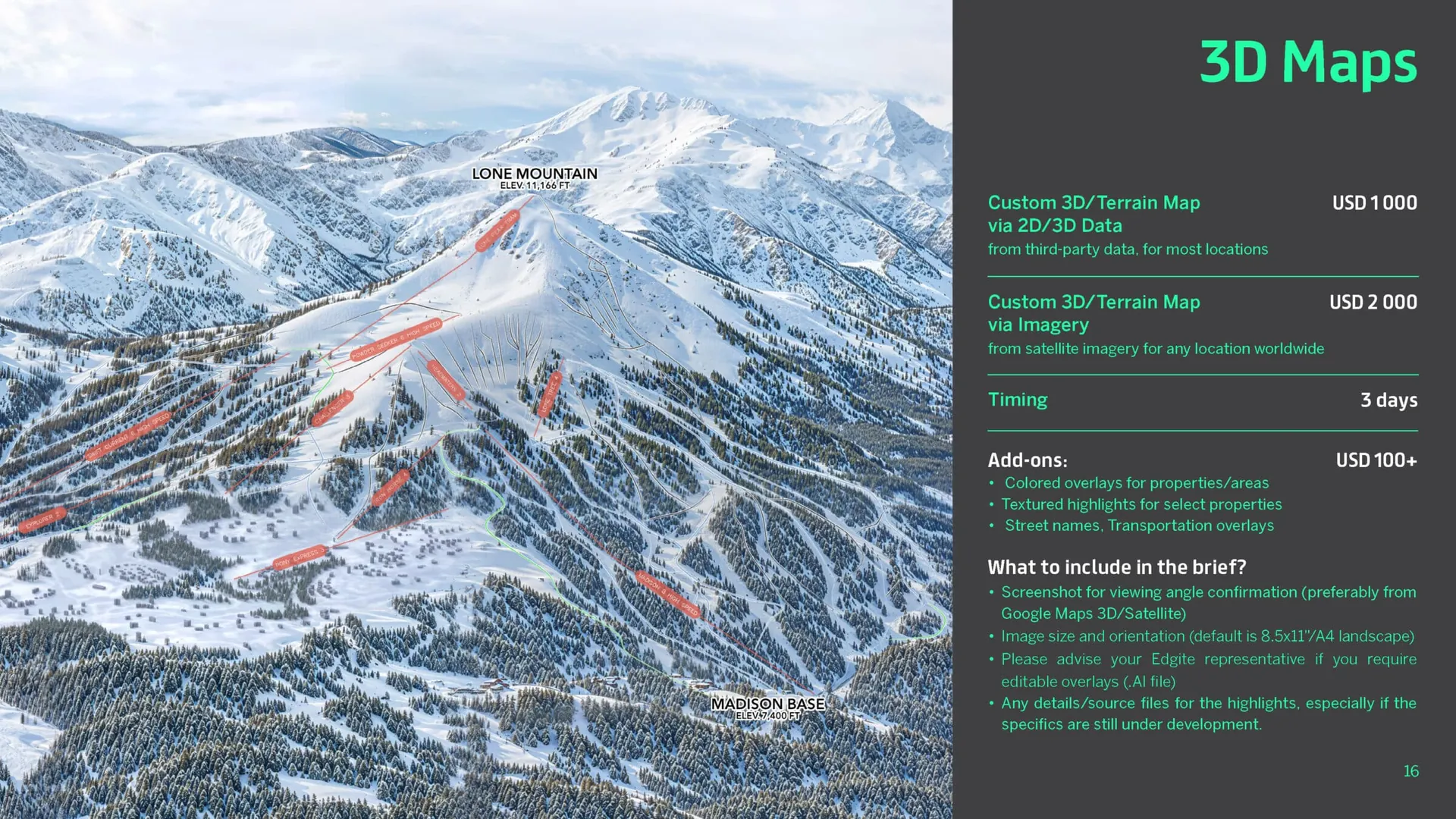
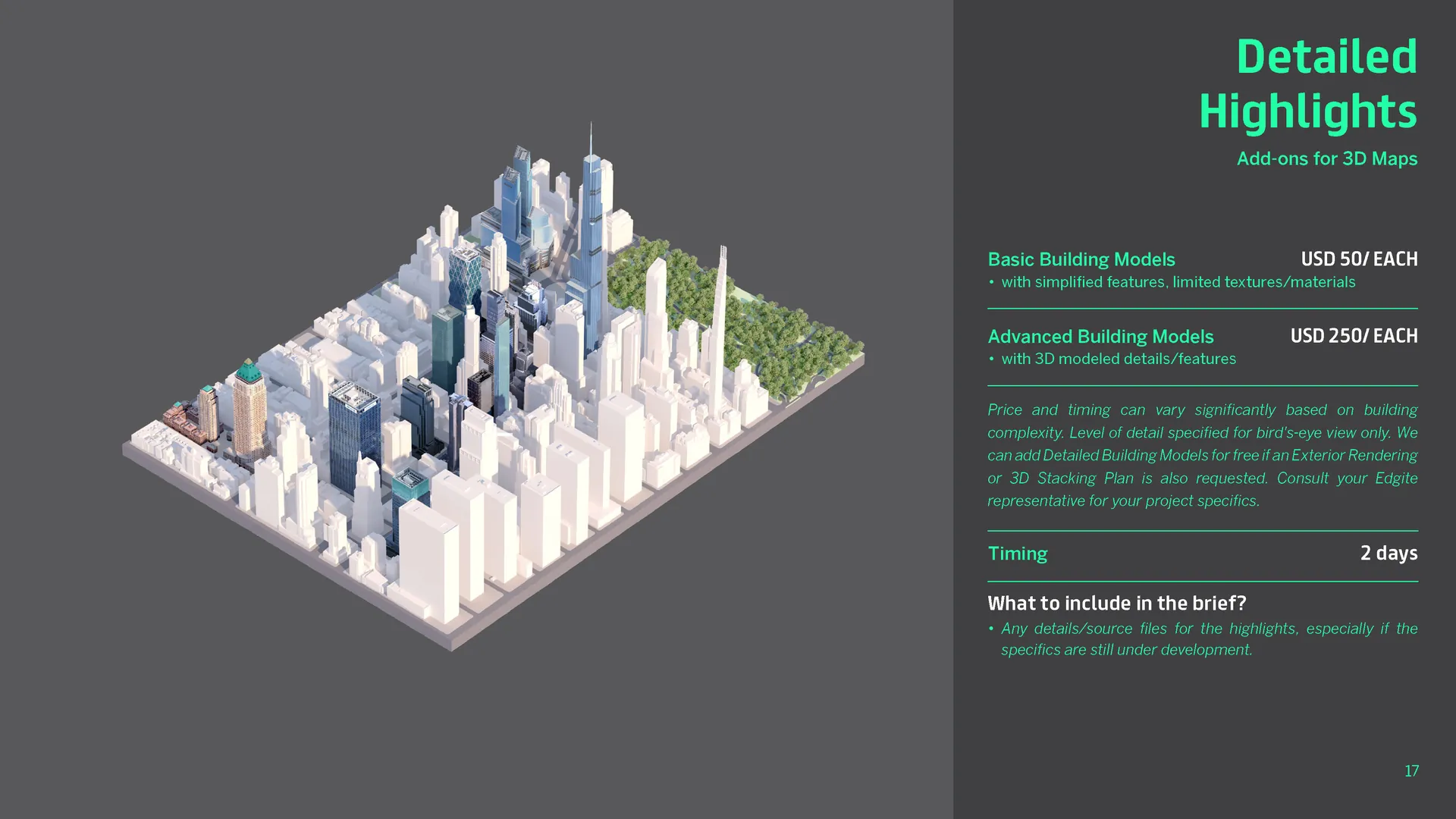
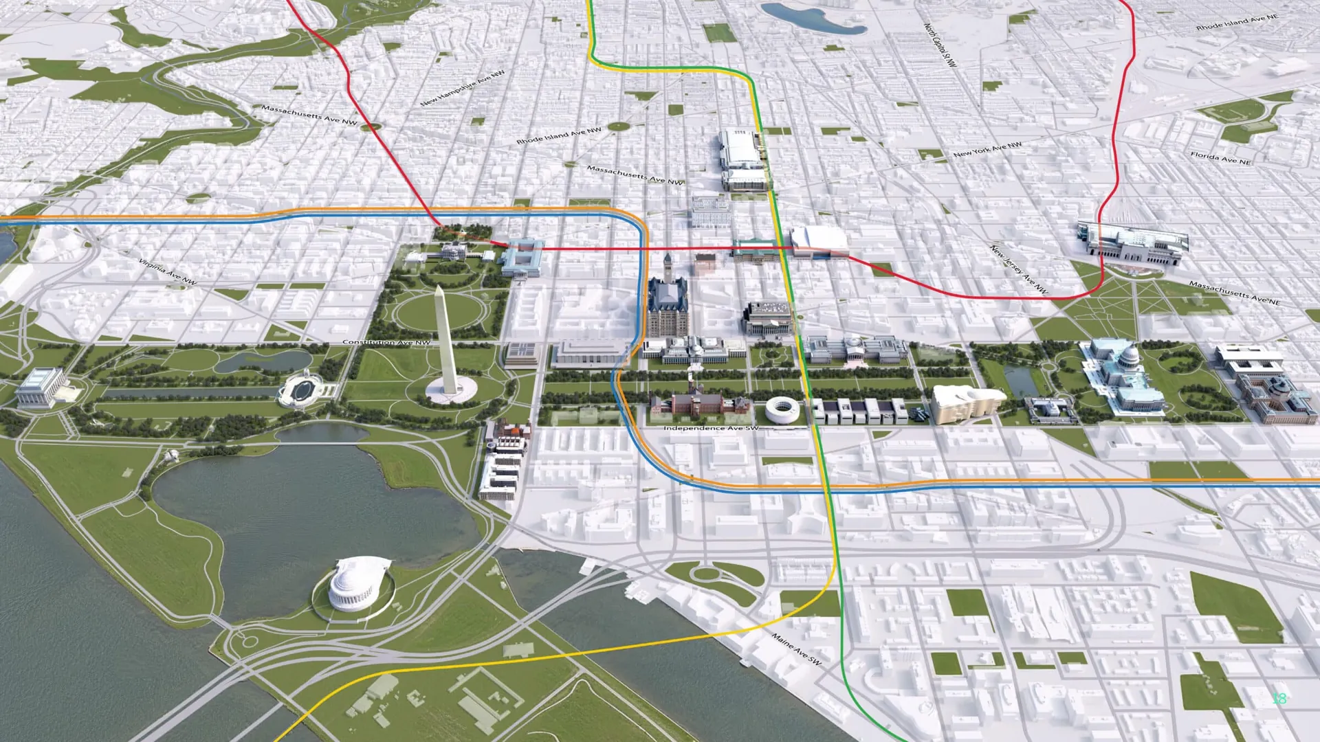
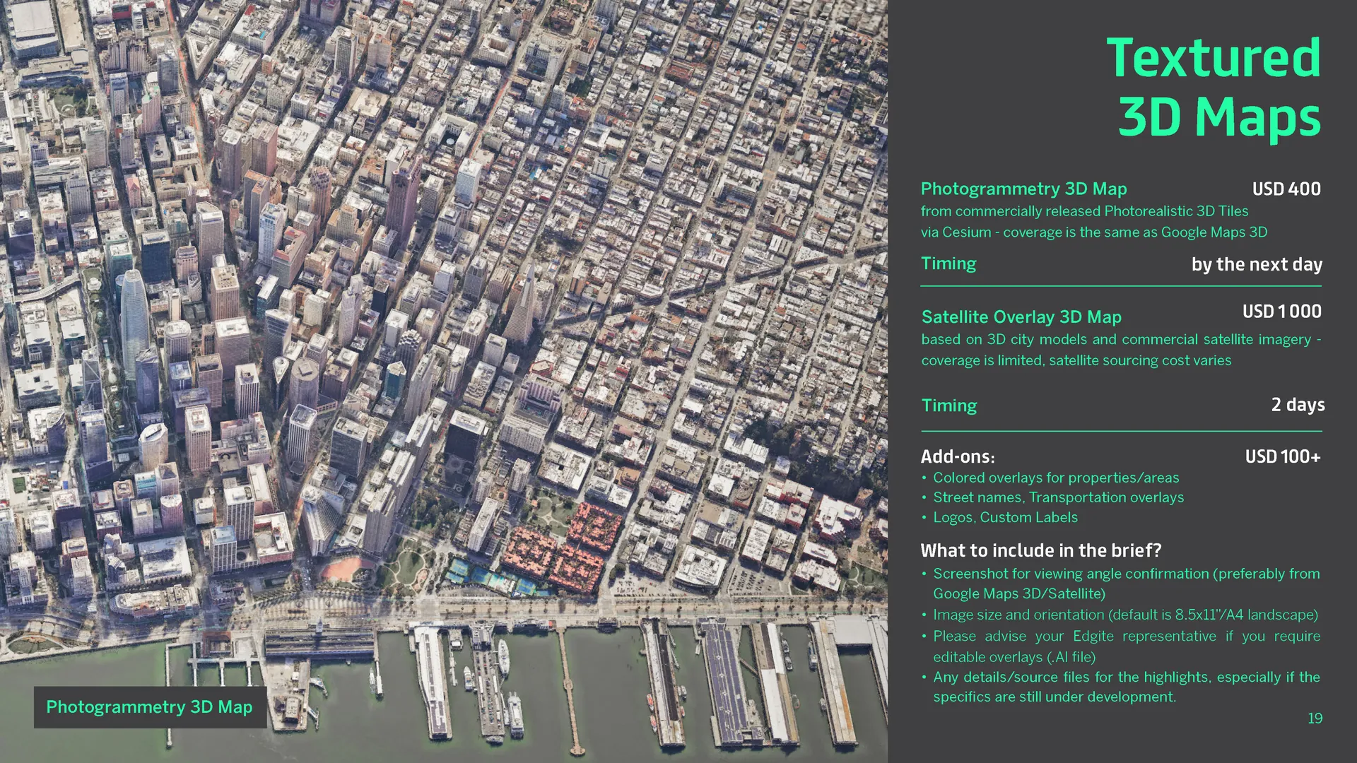
Edgite Services Portfolio 2026 cover featuring a photorealistic architectural courtyard rendering with modern facade, staircases, and public plaza activity.Edgite "How we work" page describing the studio's real estate marketing process, combining GIS data, 3D modeling, graphic design, and multimedia expertise.Services overview page presenting Edgite's core offerings including 3D renderings, functional 3D graphics, multimedia, vector graphics, and custom graphics.Photorealistic exterior rendering of a waterfront residential development with balconies, palm landscaping, marina frontage, and surrounding urban context.Split presentation of photorealistic exterior renderings showing residential architecture and urban street context used for property marketing and repositioning.Photorealistic interior rendering of a bright amenity or hospitality space with large glazing, indoor greenery, communal tables, and natural daylight.Photorealistic interior rendering of a modern lobby or coworking space featuring reception desk, seating areas, lockers, and active tenant use.Photorealistic interior rendering of a residential living space with double-height ceiling, staircase, contemporary furniture, and large windows.Repositioning rendering showing before-and-after comparison of an outdoor terrace renovation with new furniture, landscaping, and upgraded finishes.3D stacking plan rendering of a mixed-use building illustrating massing, terraces, public space integration, and surrounding urban landscape.3D building massing comparison showing a clean exterior volume model alongside a labeled 3D stacking plan with residential unit breakdowns.3D floor plan comparison illustrating a furnished residential unit layout and a commercial office floor layout viewed from above.3D site plan comparison showing a simplified site massing layout versus a detailed site plan with buildings, parking, roads, and landscaping.Detailed 3D site plan illustrating a multi-building residential complex with internal pathways, landscaped courtyards, roads, and parking.3D city map visualization highlighting major tenants, buildings, and points of interest with labeled overlays in an urban downtown context.Custom 3D terrain map of a mountainous landscape with ski trails, elevation labels, and highlighted routes rendered from geographic data.Detailed 3D city block model showing simplified and advanced building highlights within an urban district for contextual visualization.3D transportation and infrastructure map illustrating metro lines, road networks, landmarks, and major civic spaces within a city center.Textured photogrammetry-based 3D city map created from aerial imagery showing dense urban fabric and waterfront infrastructure.Satellite overlay 3D map showing a large European city with realistic building textures, streets, and urban blocks viewed from above.3D city model overview showing readily available cities in North America, Europe, and Asia with a list of supported metropolitan areas.Night-time 3D city map rendering with illuminated buildings and waterfront context, illustrating additional information and usage notes for 3D maps.Rendered 360-degree virtual tour interface showing an interior office workspace with navigation markers and interactive room selection.Photo-based 360-degree virtual tour interface displaying a furnished conference or lounge space with interactive floor navigation.360-degree viewer comparison showing a single building model and a multi-building complex site rendered for interactive exploration.Interactive labeled aerial view highlighting multiple buildings with color-coded overlays, labels, and points of interest in an urban district.Interactive 360-degree panoramic rendering integrating a proposed building into a real aerial city photograph for immersive visualization.3D animation sequence illustrating step-by-step construction or massing evolution of a high-rise building within a city model.Animated 3D city map highlighting a corridor of buildings with color overlays to illustrate movement, phasing, or area emphasis.Animated 2D vector map showing distance rings and regional reach from a focal city across the western United States.High-rise building build-up sequence showing structural and facade elements assembling vertically within a dense urban city context.Animated site and stacking plan showing exploded floor plates and interior layouts within a mid-rise mixed-use building model.Aerial video frame with labeled corporate campuses and highlighted development areas used for real estate marketing video editing.Clean 2D vector base map showing downtown Montreal with waterways, districts, and simplified cartographic styling.Dark-themed detailed vector city map of New York City showing boroughs, major roads, and airport locations.Amenity and comparable map displaying Milwaukee with color-coded points of interest, amenities, and an inset overview map.Thematic data map of the United States showing geographic distribution of data centers using proportional circular markers.Luxury retail logo map of the Champs-Elysées area in Paris with brand logos placed on a stylized vector street map.Demographic vector map of Austin showing income distribution zones with concentric distance rings from the city center.Detailed vector transportation and infrastructure map of New York City showing routes, borough connections, and waterways.2D site plan pricing overview comparing a simple single-building site plan and a complex multi-building site with surrounding context.Detailed 2D floor plan illustration showing a complex interior layout with rooms, furniture, circulation, and surrounding site context.3D site and floor plan visualization with transparent building mass, highlighted floor plate, and dimensioned site measurements.Raster line drawing of a historic multi-story building facade generated from a 3D model with architectural details.Vector line drawing comparison based on a photo showing a simplified outline version and a colored overlay version of a mid-rise building.Vector line drawings generated from a 3D model showing two high-rise towers in different orthographic and perspective views.Pencil-style rendered 3D visuals including a stepped building massing and a detailed city map with highlighted transit stations.Booklet design examples showing multi-page spreads combining architectural visuals, maps, diagrams, and editorial layouts.Data visualization graphics featuring circular charts, progress indicators, and percentage-based infographic elements.Reference gallery grid showcasing a selection of interior renderings, exterior architecture, 3D maps, diagrams, and site plans.Closing page of the Edgite Services Portfolio 2026: Please get in touch with us via hello@edgite.com.
View Online - Industrial Services Portfolio 2026
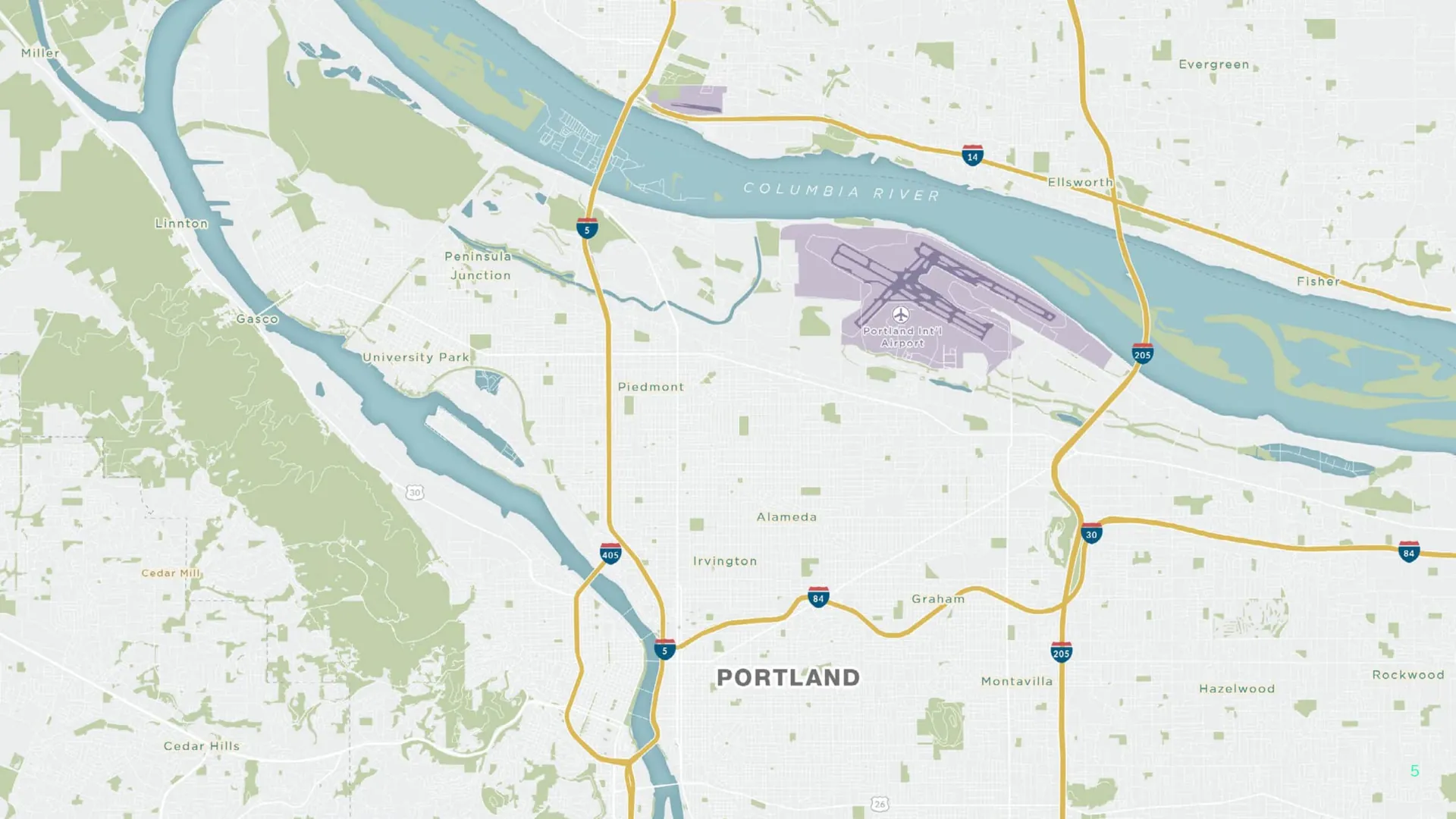
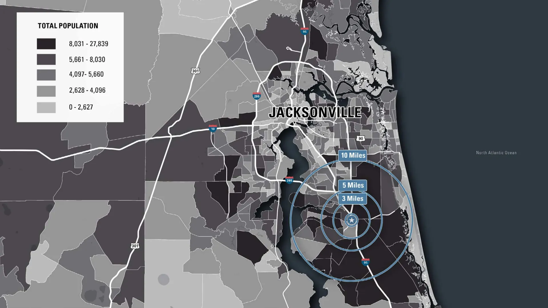
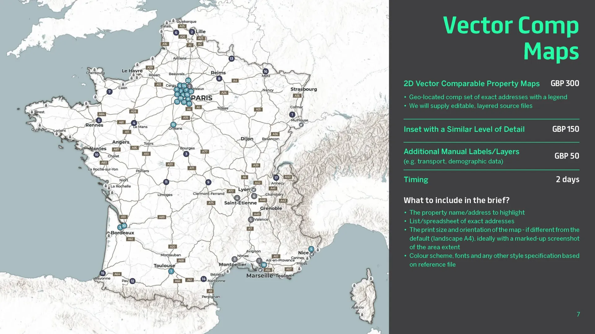
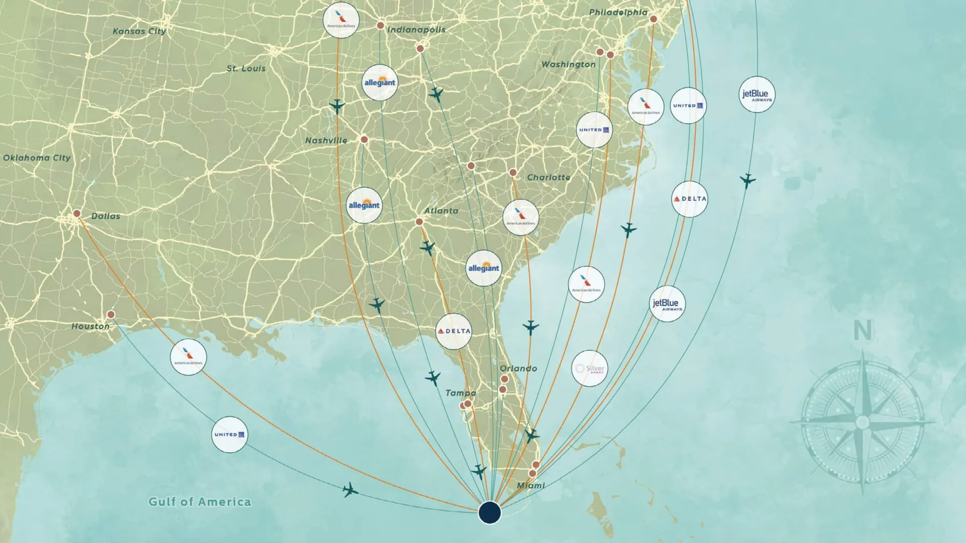
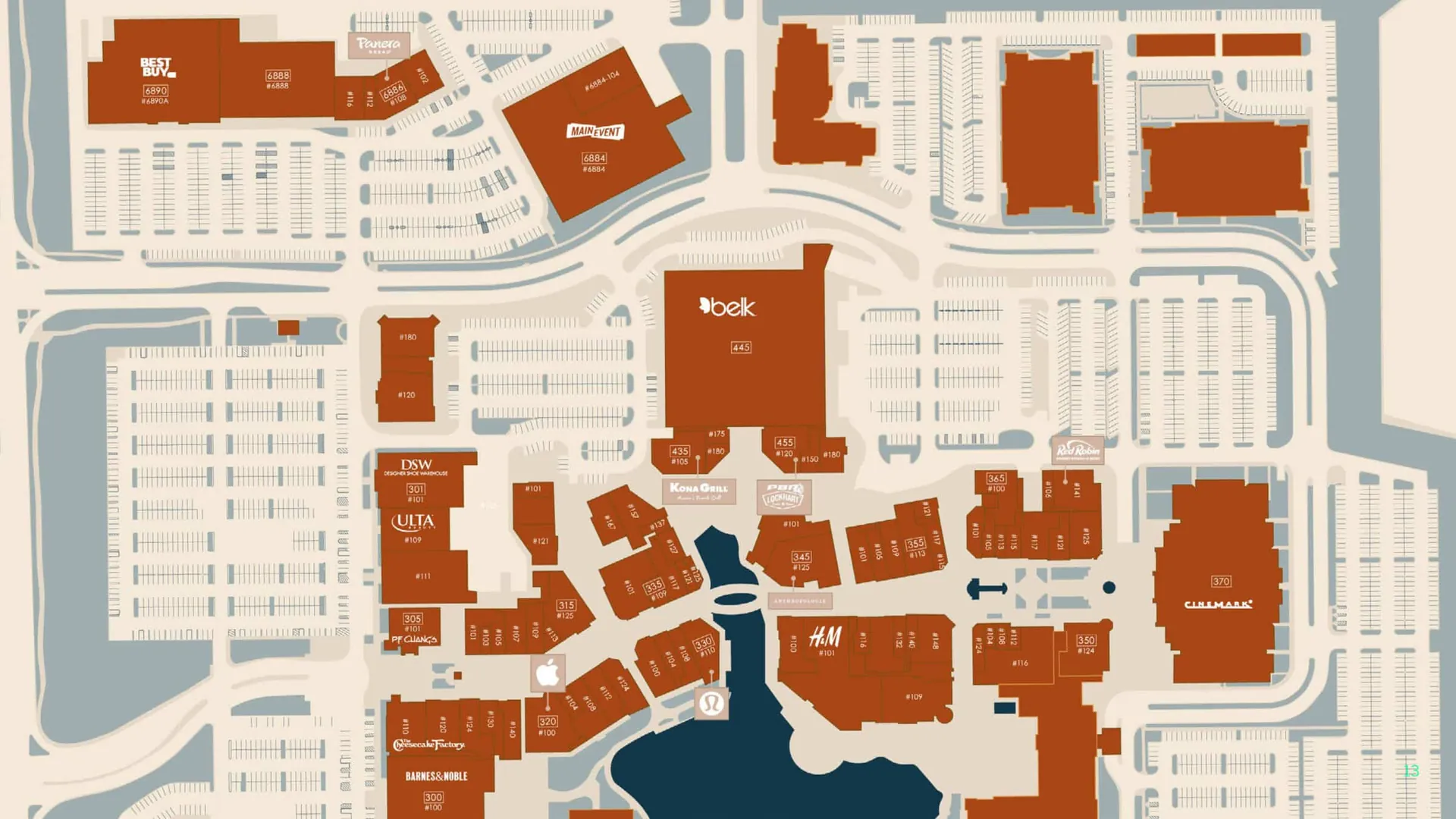
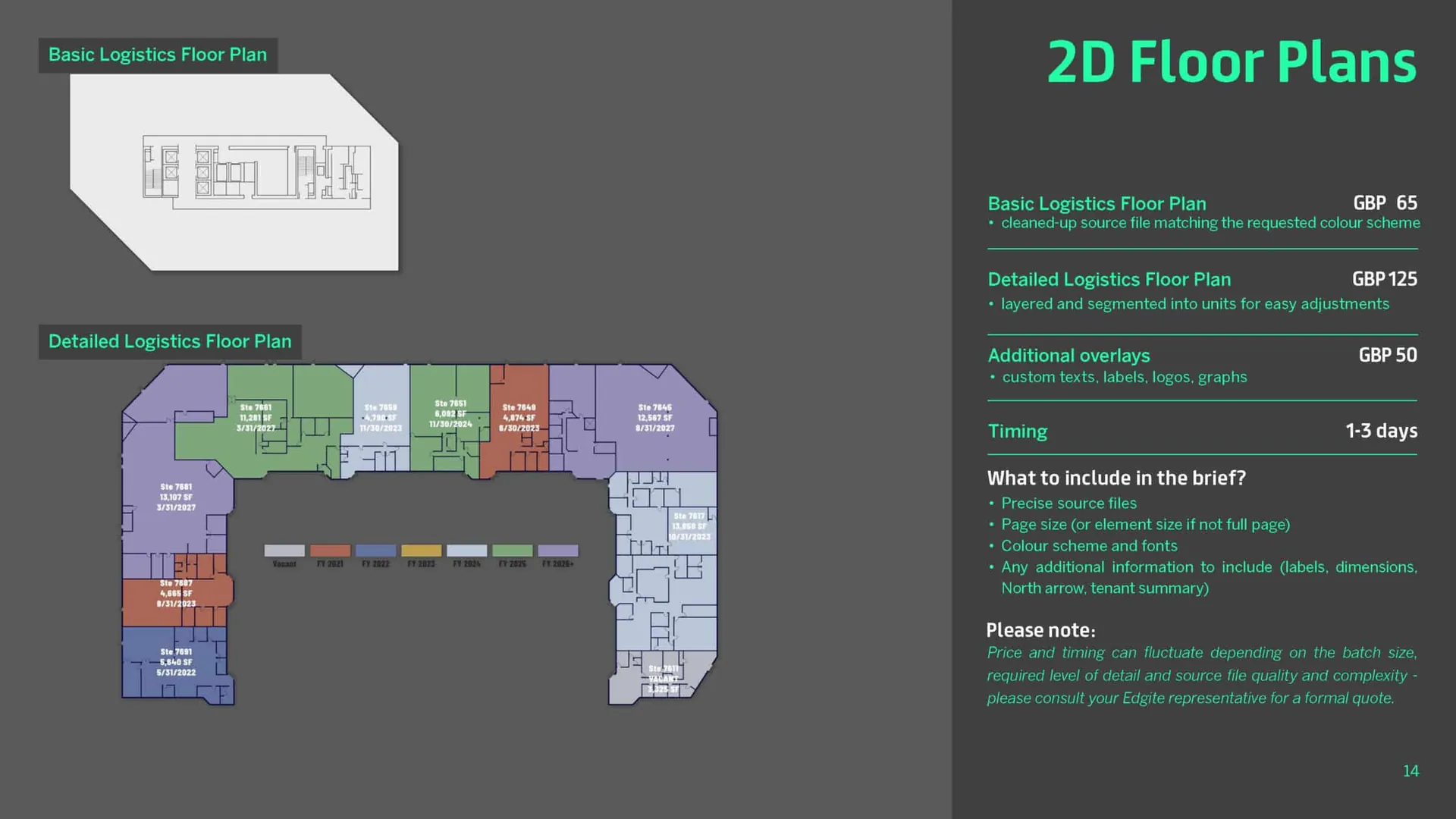
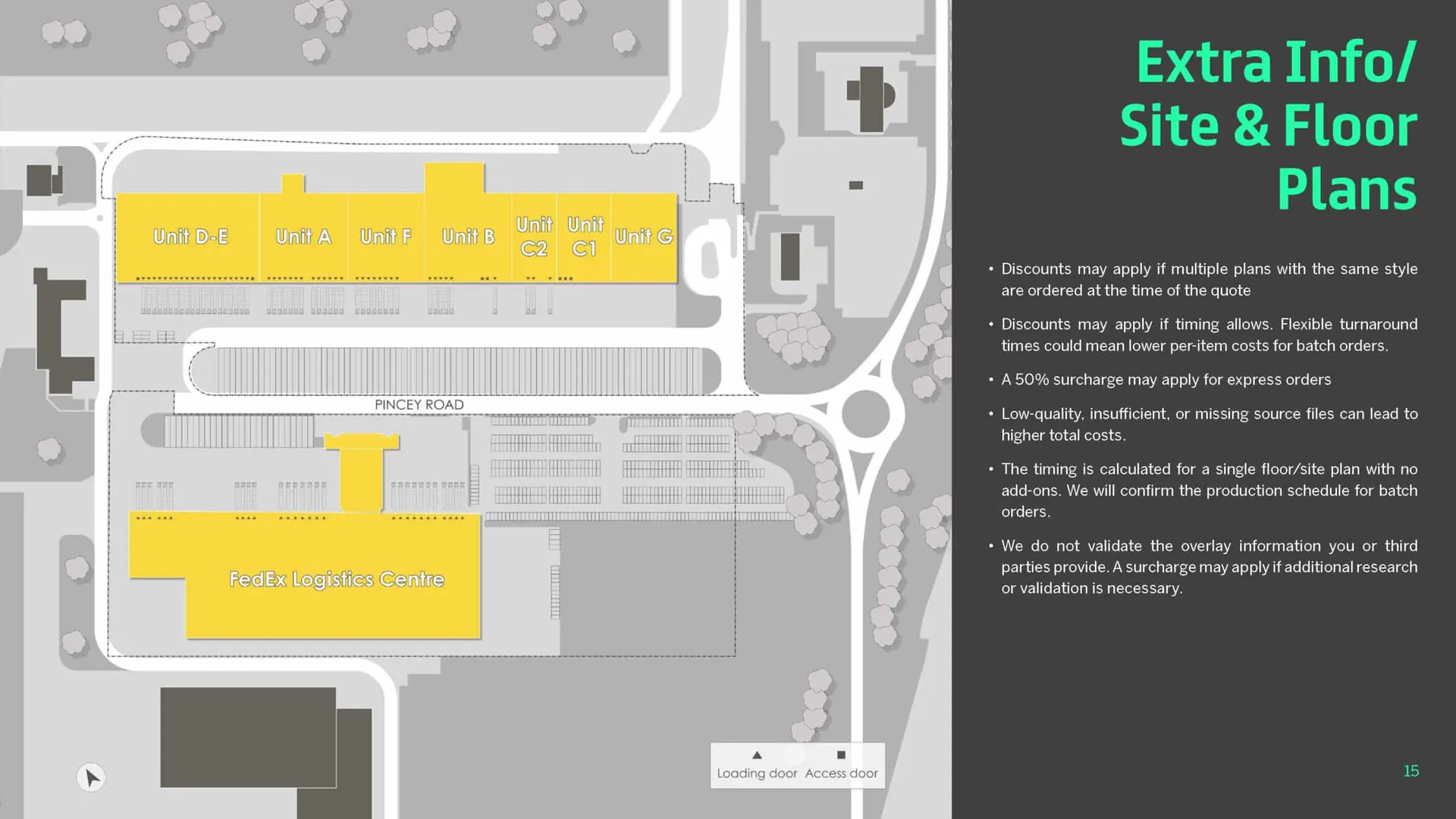
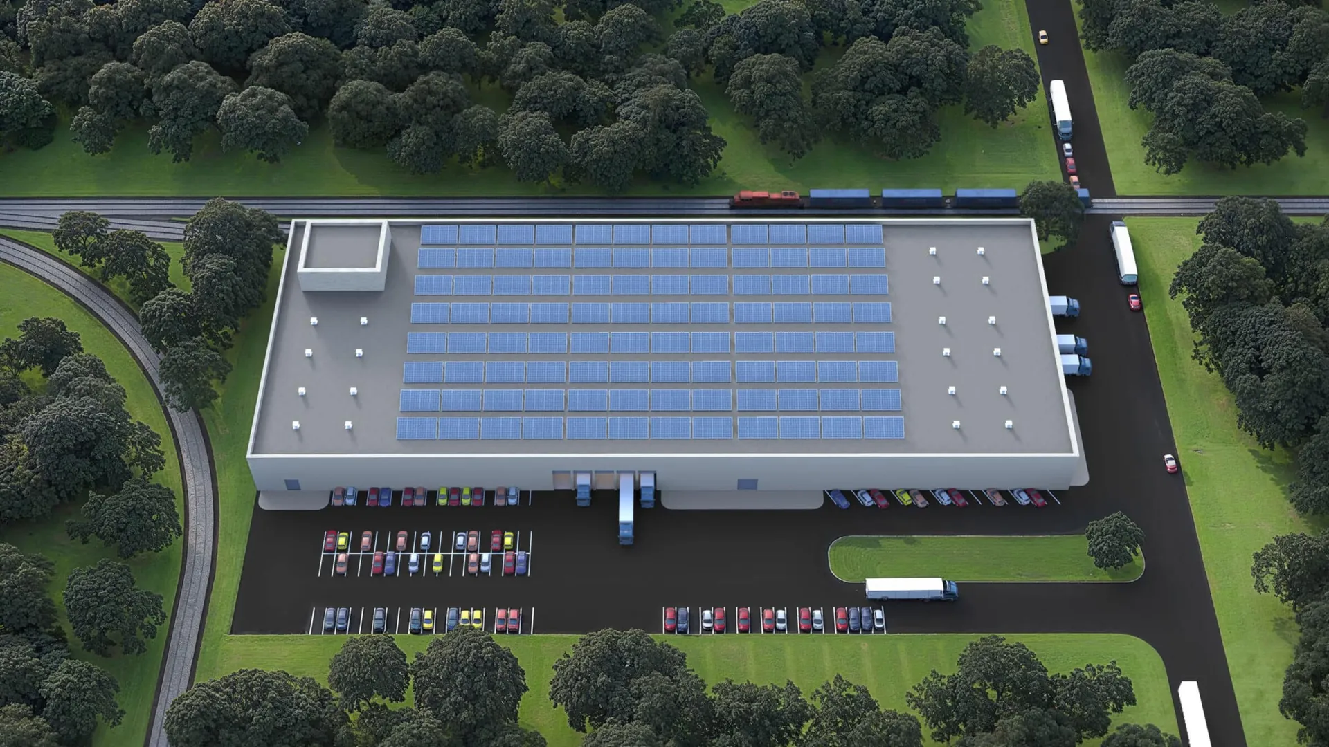
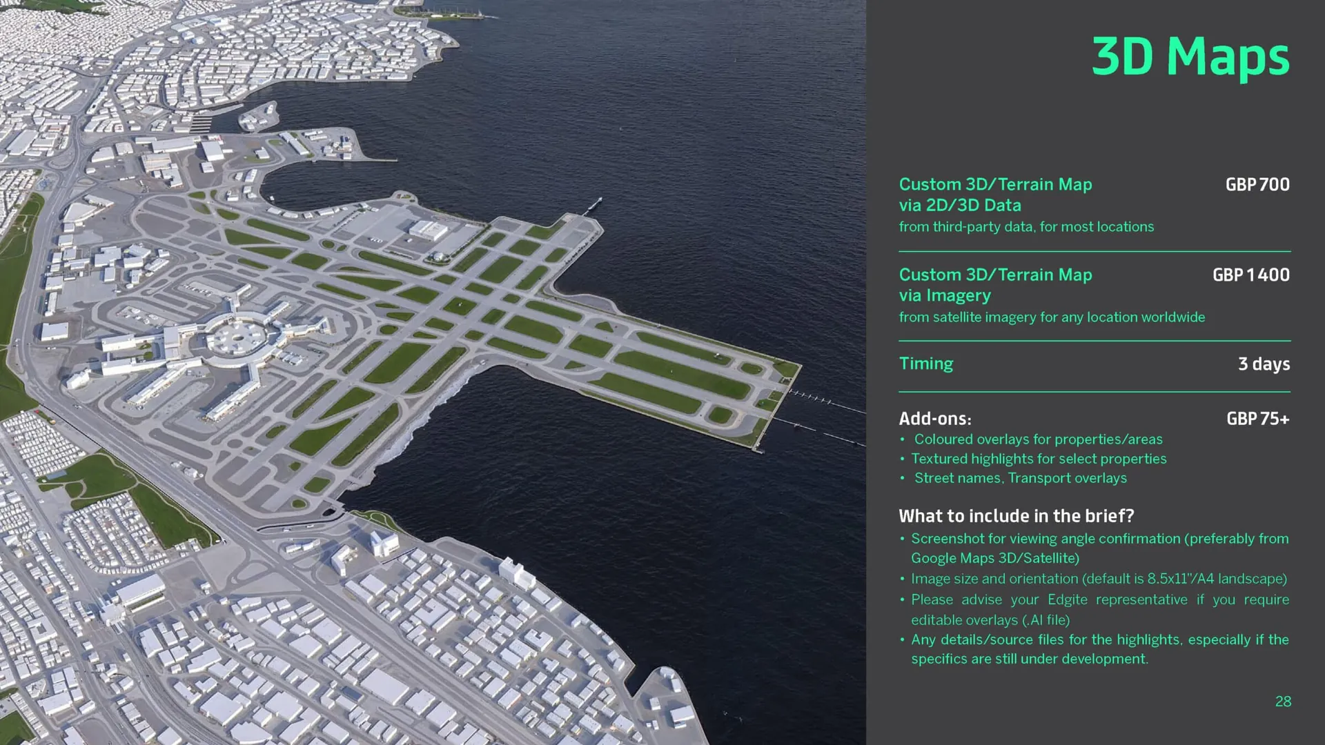
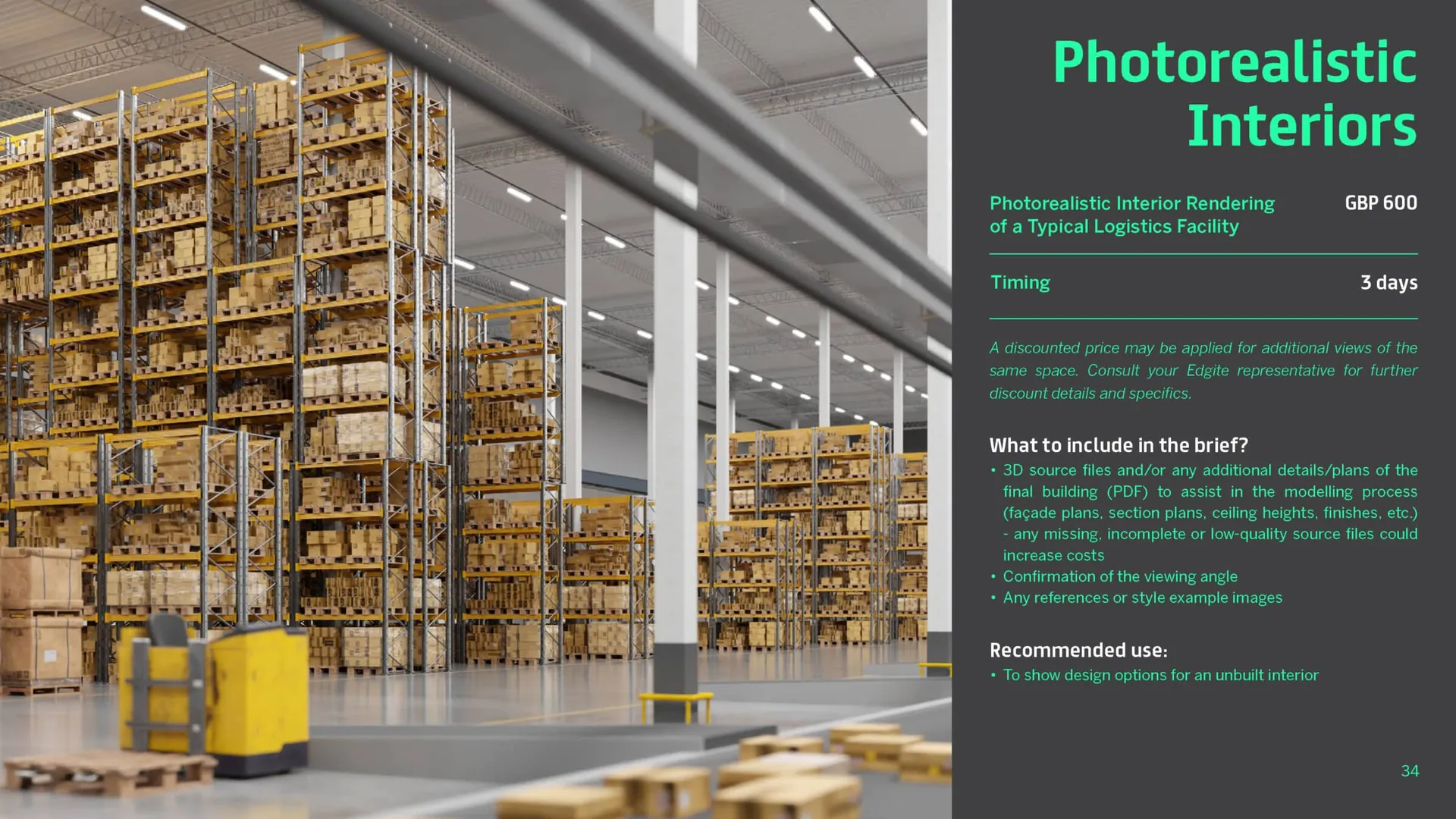
Cover of Edgite Industrial & Logistics Services Portfolio 2026.Overview explaining how Edgite produces real estate visualization services.Services overview including maps, 3D graphics, multimedia and renderings.Vector map service example used in commercial real estate marketing.Vector location map example showing Portland airport and city context.Demographic radius map showing population density around a property.Vector Comparable Property Map Example - Paris and France Commercial Real EstateAirline route connectivity map centered on Miami showing flight connections to major US cities and logistics hubs.Retail amenity logo map displaying branded locations near a property.Drive time and thematic map used for property analysis.Examples of location maps used in commercial property marketing.2D industrial site plan showing buildings, parking and circulation.Detailed retail site plan with tenant layout and parking.Industrial floor plan visualizing warehouse leasing units.Logistics center site plan showing warehouse units and truck routes.Rendered 360 virtual tour interface for exploring interior spaces.Drone photo based 360 tour of a warehouse property.Interactive 3D building viewer showing rotating models.Labelled aerial photo highlighting buildings and property features.3D construction animation showing building development stages.Animated 3D city map highlighting buildings and infrastructure.Animated distance map with regional radius rings.Example of commercial real estate aerial marketing video.3D floor plan visualization of an industrial building layout.Top down 3D site plan visualizing buildings and circulation.3D warehouse site plan example with trucks and solar roof.Base 3D city map with labelled buildings and infrastructure.Custom 3D terrain map showing airport infrastructure.Textured 3D map with satellite overlay for regional context.Photogrammetry 3D map of port logistics infrastructure.Map showing global coverage of available 3D city models.Explanation of overlays and data sources used in 3D maps.Photorealistic exterior rendering of an industrial warehouse.Interior rendering of a logistics warehouse facility.Custom graphics and marketing design services for real estate.Pencil style architectural rendering sketch example.Additional portfolio examples and references.Contact information page for Edgite.

Download Portfolios

Services Portfolio 2026
Industrial and Logistics Services Portfolio 2026
Price List​

3D Renderings
USD
GBP
EUR
Photorealistic Exteriors
1 500
1 100
1 300
Photorealistic Aerial Composition
1 200
850
1 000
Exterior + Aerial Bundle
2 300
1 600
2 000
Photorealistic Interior - Residential
800
600
700
Photorealistic Interior - Amenity/Hospitality
1 200
900
1 050
Photorealistic Interior - Commercial
1 400
1 000
1 200
Completely 3D Rendered Interior Repositioning Rendering
1 000
700
900
3D Rendered Exterior Repositioning Overlay Combined with Photo Editing
1 200
850
1 000
Functional 3D Graphics
USD
GBP
EUR
3D Stacking Plans - Tier 1 - Core Assets
1 000
800
900
3D Stacking Plans - Tier 2 - Multi-Building Sites
1 600
1 200
1 400
3D Stacking Plans - Tier 3 - Landmark & Masterplans
2 500
1 900
2 200
3D Floor Plans - Residential Unit
500
400
400
3D Floor Plans - Commercial Floor
800
600
700
3D Site Plan - Simple
500
350
400
3D Site Plan - Detailed
1 000
750
900
Base 3D Maps
400
300
350
3D Maps - Overlayed
500
400
450
Custom 3D/Terrain Map via 2D/3D Data
1 000
700
900
Custom 3D/Terrain Map via Imagery
2 000
1 400
1 700
Textured 3D Maps - Photogrammetry
400
300
350
Textured 3D Maps - Satellite Overlay
1 000
700
900
Pencil-style Rendered 3D Map
1 000
700
900
Multimedia
USD
GBP
EUR
Rendered 360° Virtual Tours
3 000
2 100
2 600
Photo 360° Virtual Tours
400
300
350
360° Viewer - Single Building
1 400
1 000
1 200
360° Viewer - Complex Site
2 000
1 400
1 700
Interactive Labeled Aerials - Standard UI
400
300
350
Interactive Labeled Aerials - Unique UI
600
400
500
Interactive Labeled Aerials - Standard UI and add-ons (texts, highlights)
800
600
700
Interactive Labeled Aerials - Unique UI and add-ons (texts, highlights)
1 000
700
900
360° + Rendering
1 600
1 200
1 400
Animated Base 3D Maps (Existing city models)
700
500
600
Animated 3D Maps with Detailed Building Models (Existing city models)
900
650
800
Animated 2D Maps (Animation cost only)
300
200
250
Build-up Sequences - Still
500
350
450
Build-up Sequences - Motion in 3D Surroundings
700
500
600
Build-up Sequences - Motion in Aerial Footage
400
300
350
Animated Site/Stacking Plans - 3D Surroundings
1 400
1 000
1 200
Animated Site/Stacking Plans - Aerial Footage
1 200
850
1 050
Video editing - Marketing Video < 60 sec
1 400
1 000
1 200
Video editing - Marketing Video Between 60-180 sec
2 000
1 400
1 700
Video editing - Marketing Video > 180 sec
3 000
2 100
2 600
Video editing - Modifications and add-ons
100
70
90
Vector Graphics
USD
GBP
EUR
Vector Maps
300
200
250
Overlay Map
350
250
300
Inset Map - Base
150
100
125
Vector Amenity Map
450
300
400
Vector Comp Map
400
300
350
Inset Map - Amenity/Comp
200
150
175
Logo Maps - Partial
500
350
450
Logo Maps - Complete
800
550
700
2D Site Plan - Simple
150
100
125
2D Site Plan - Complex
400
300
350
2D Floor Plan - Minimal
50
35
45
2D Floor Plan - Simple
150
100
125
2D Floor Plan - Complex
300
200
250
Line Drawings - Raster - based on a 3D Model
500
350
450
Line Drawings - Vector - based on a Photo
600
450
500
Line Drawings - Vector - based on a 3D model
900
650
800

Price validity and typical pricing notice


All prices listed (USD, GBP, EUR) are effective from February 1, 2026, and represent typical pricing for standard services.

All prices are exclusive of VAT. Where applicable, VAT is charged in accordance with relevant regulations. For eligible cross-border B2B transactions, the reverse-charge mechanism may apply.

Actual quotes may vary based on project scope, format, content requirements, delivery timing, or other client-specific factors.

Edgite Hungary Kft. reserves the right to update pricing and terms at any time, and any changes will be reflected on the pricing page and governed according to the Terms and Conditions posted on our site.