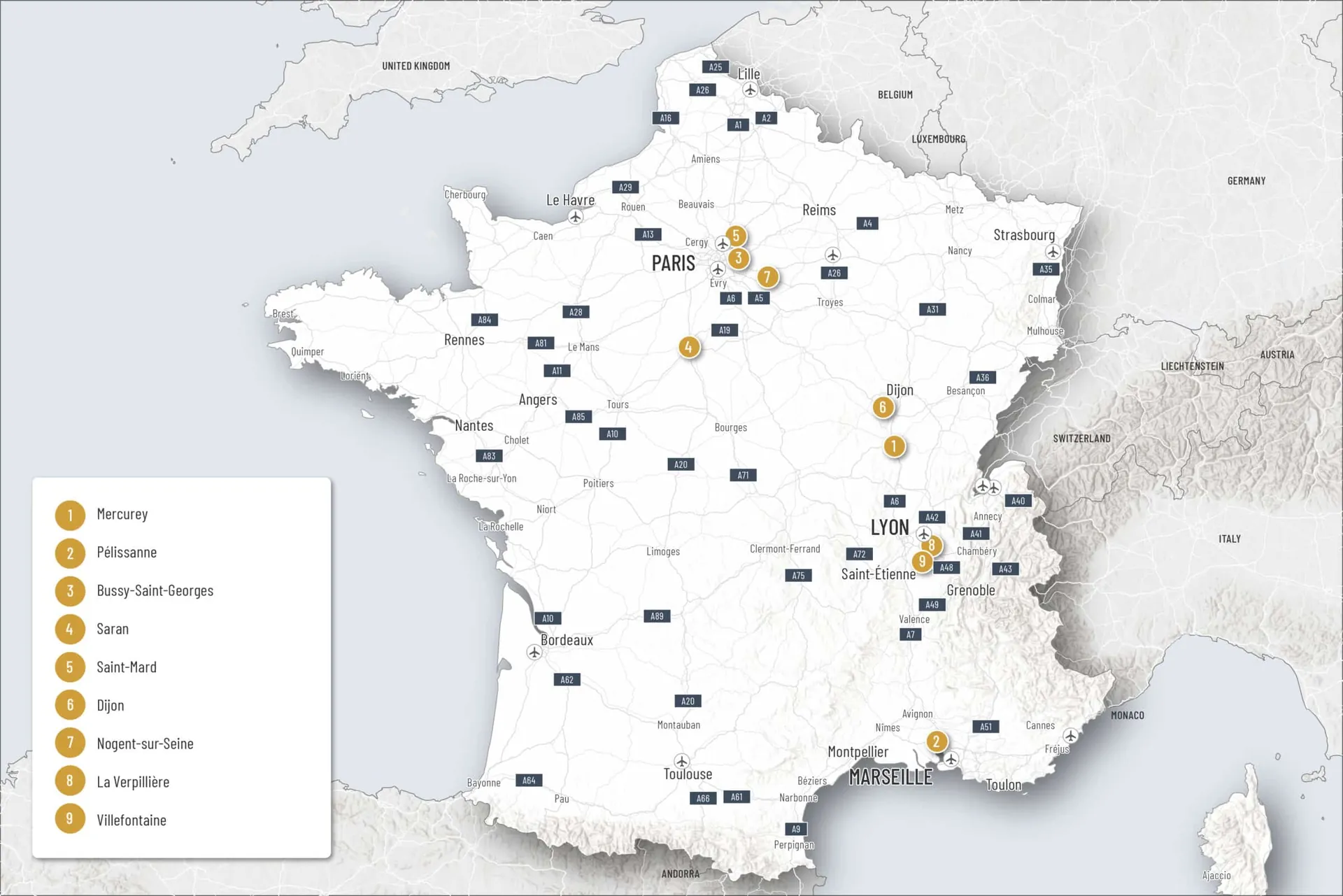
Vector Maps
Vector Base Maps


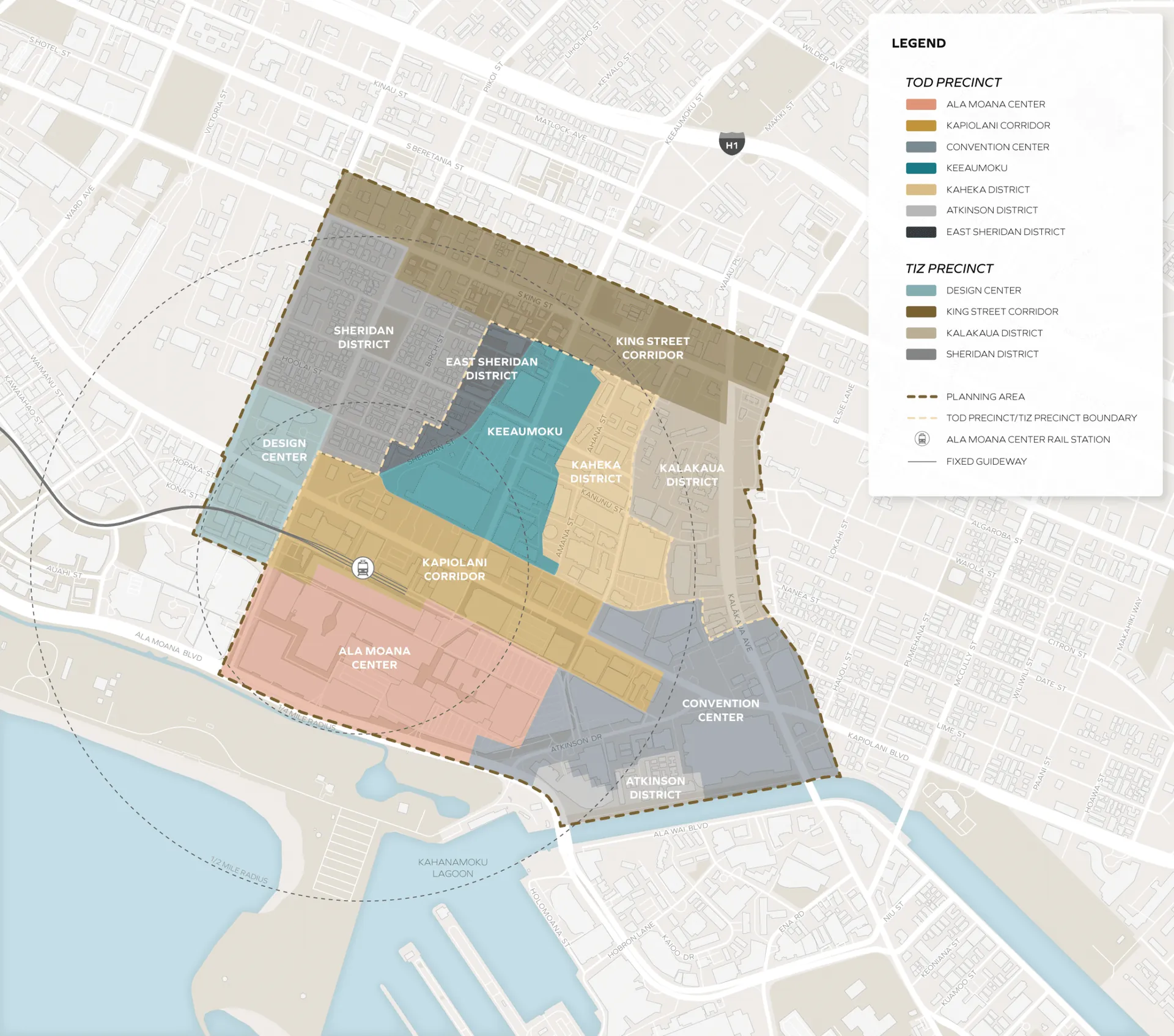
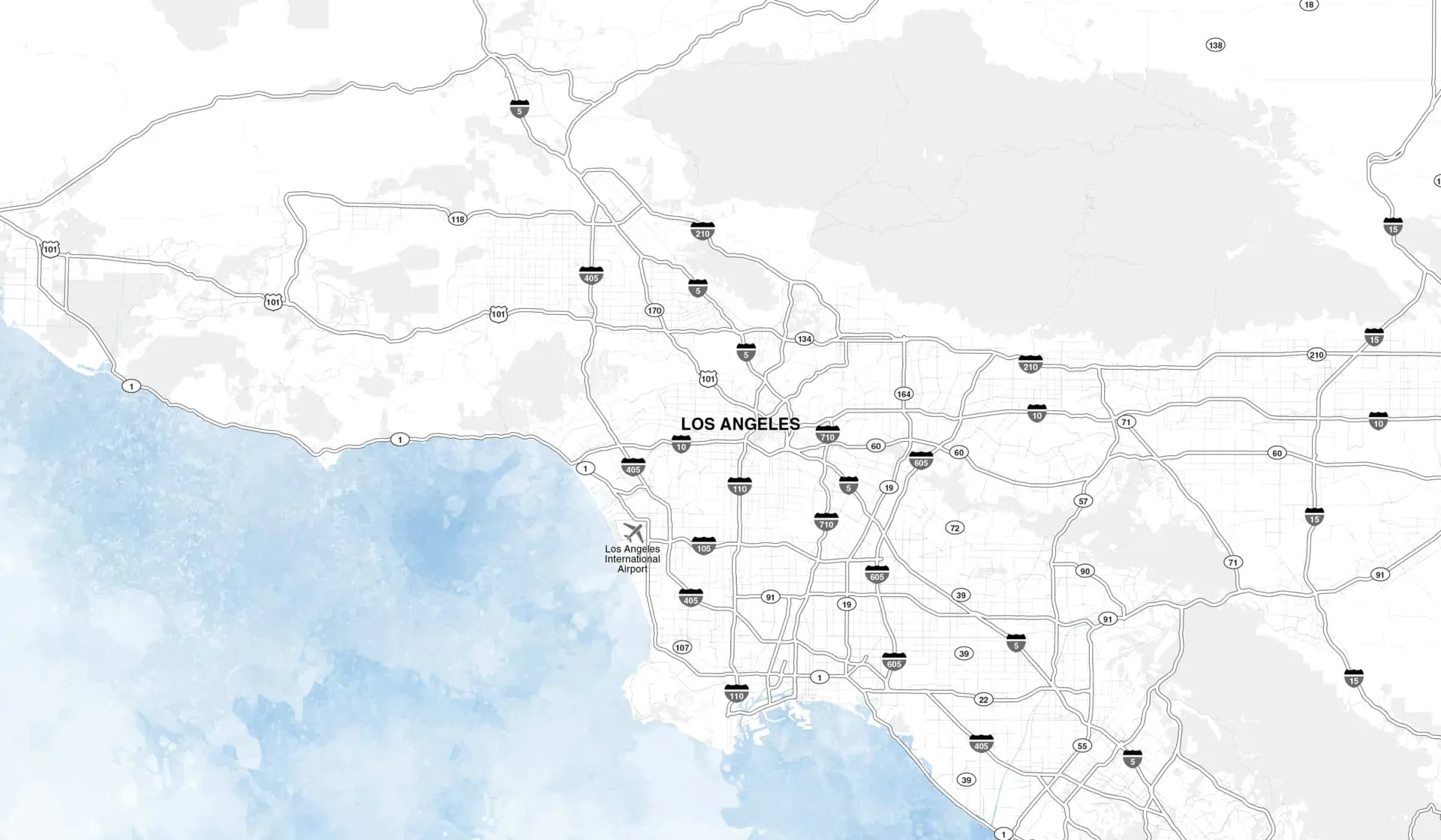
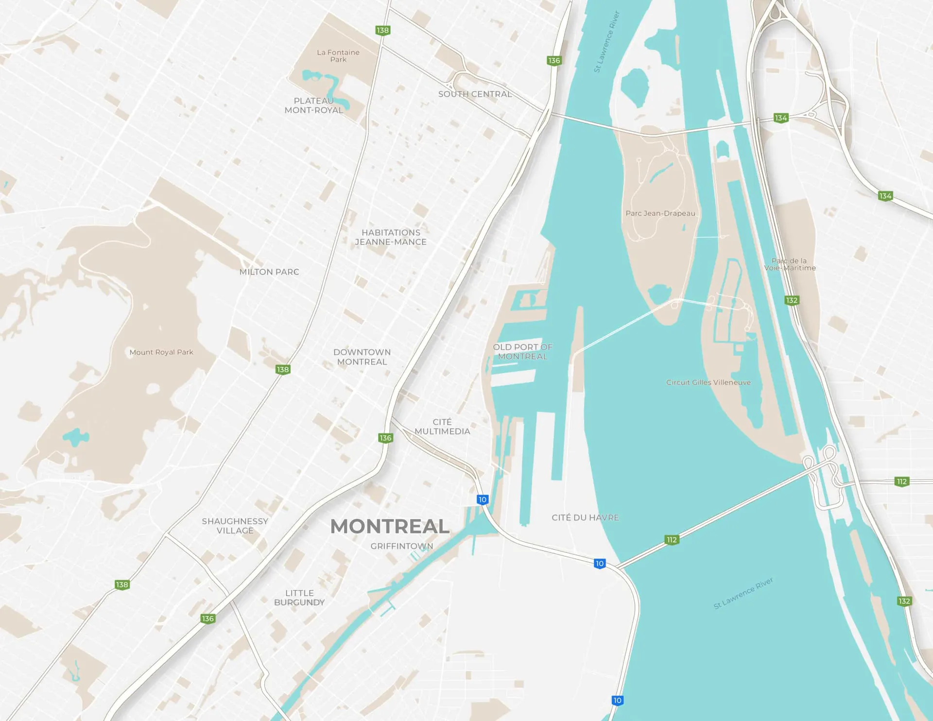
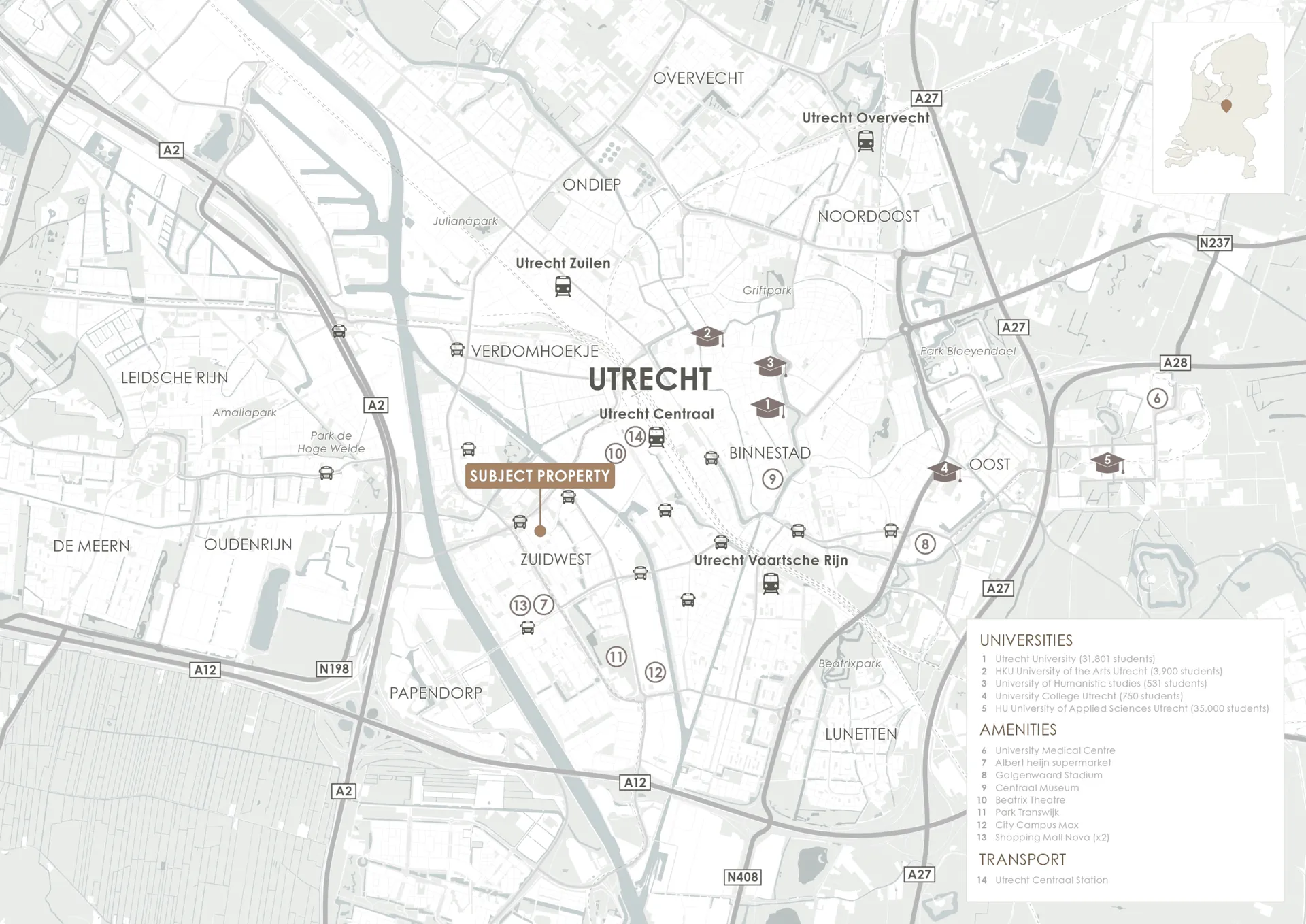
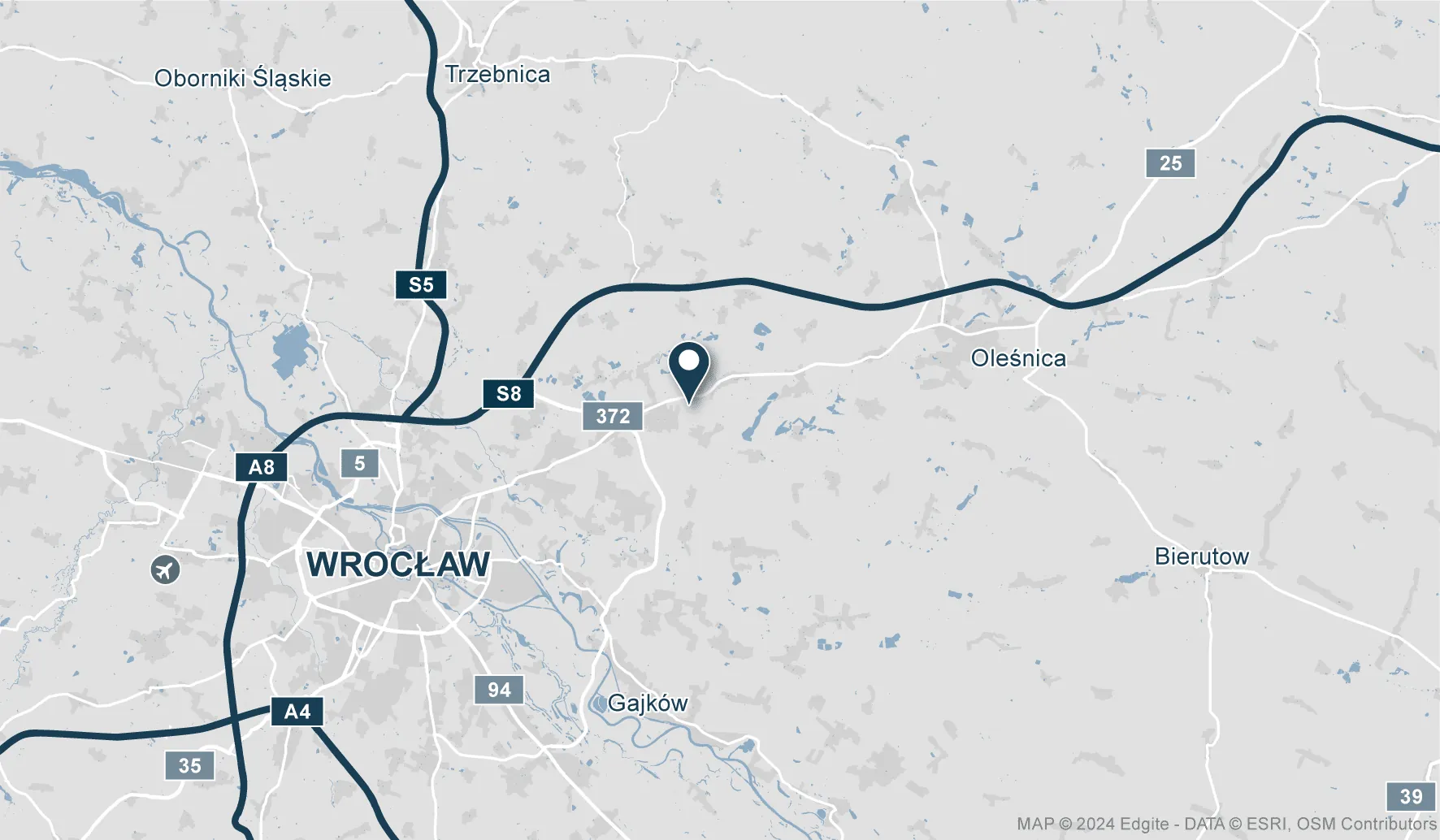
2D Vector Base Map
USD 300
• Basic location information
• Automatically generated labels (readable size and density) for the default print size (landscape Letter/A4)
• We will supply editable, layered source files
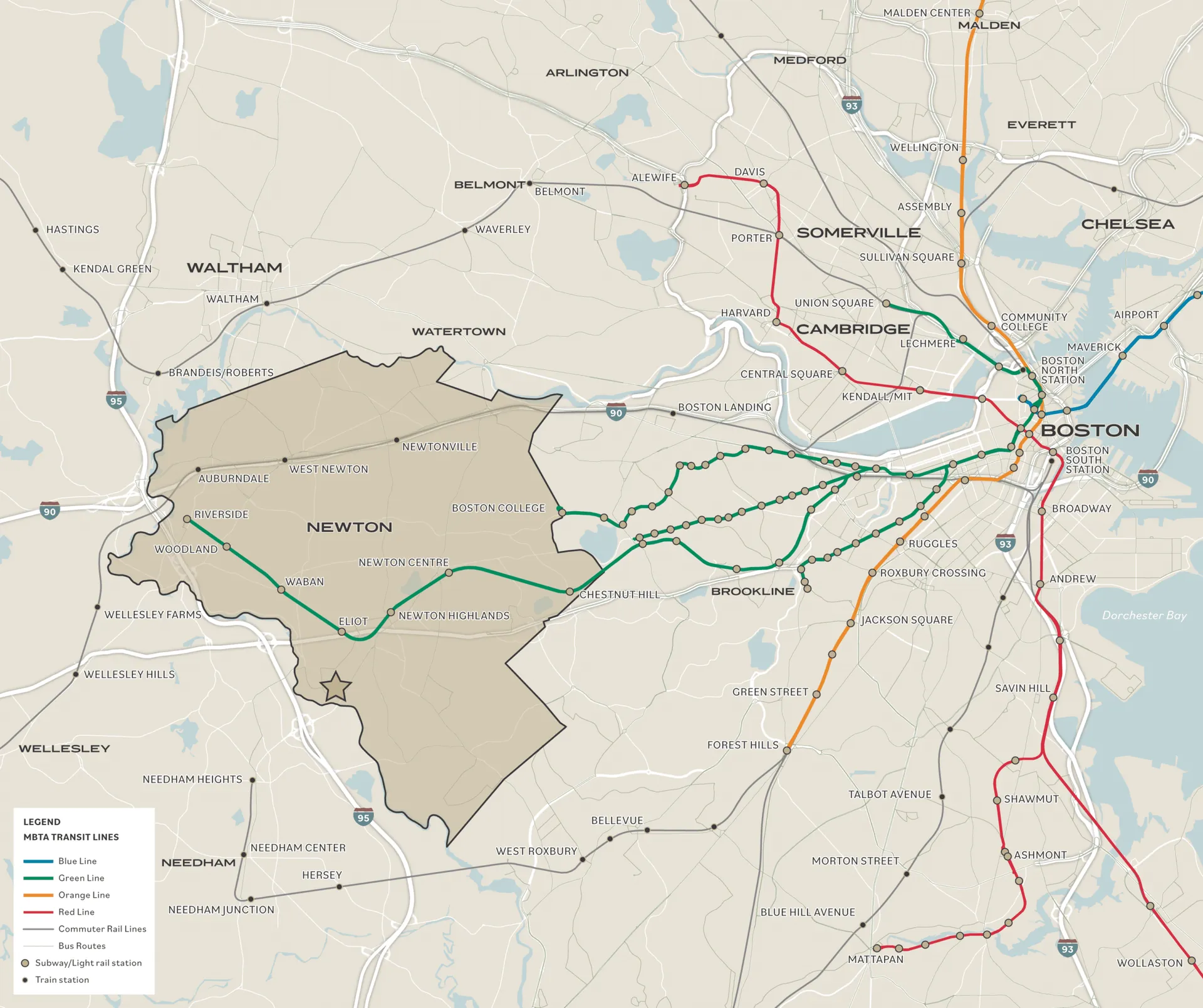
Overlay Map
USD 350
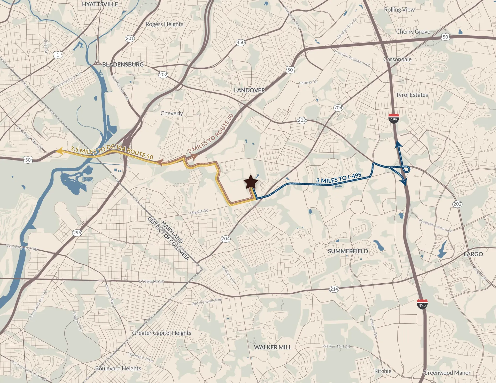
2D Vector Base Map + data/satellite imagery overlay
Inset with a Similar Level of Detail
USD 150
Manually Cleaned-up Layers
USD 100
Additional Labels
USD 100
(e.g. transportation, demographics data)
Timing
by the next day
What to include in the brief?
• The property name/address to highlight
• The print size and orientation of the map – if different from the default (landscape Letter/A4), ideally with a marked-up screenshot of the area extent
• List of manual labels to include (can affect pricing), color scheme, fonts, and any other style specification based on the reference file
Amenity & Comp Maps


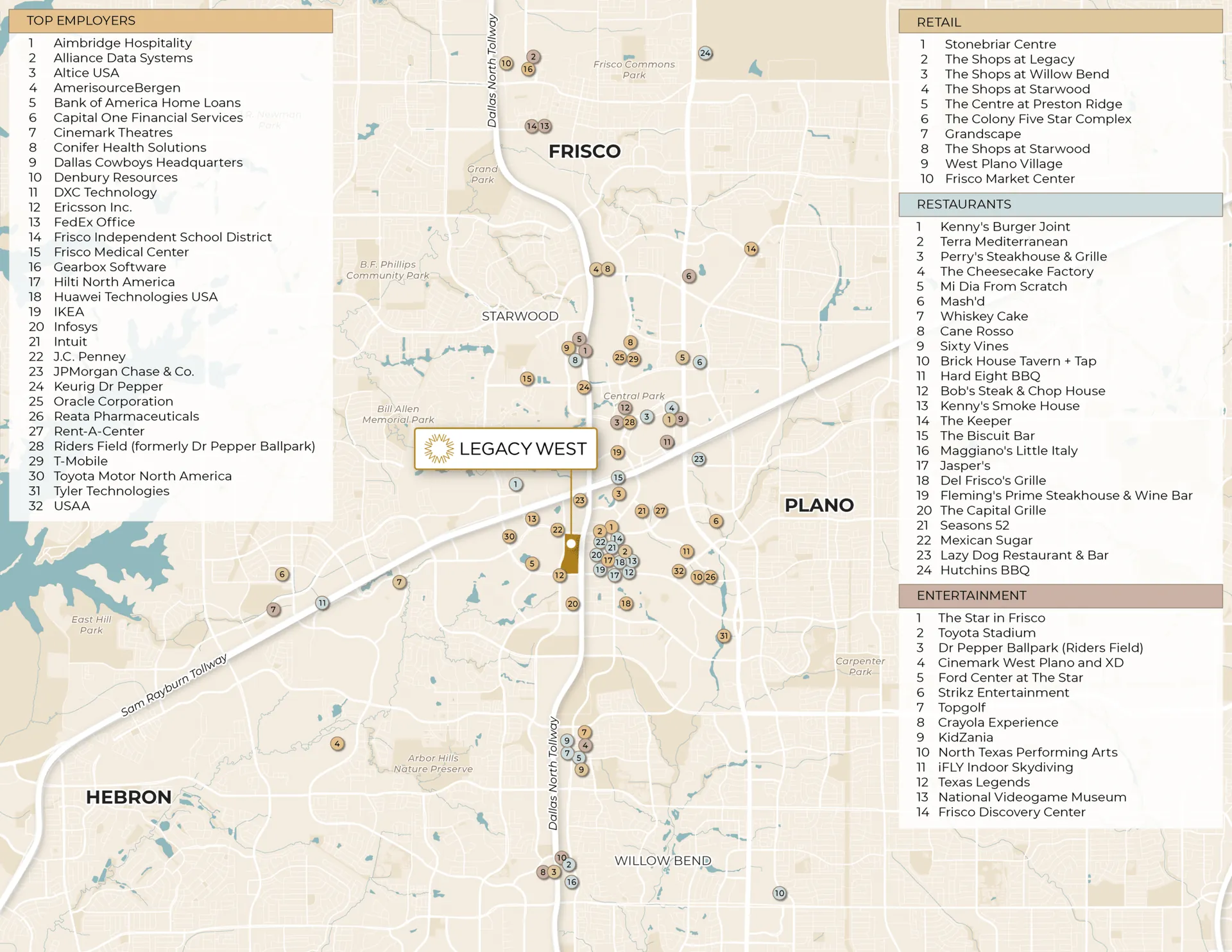
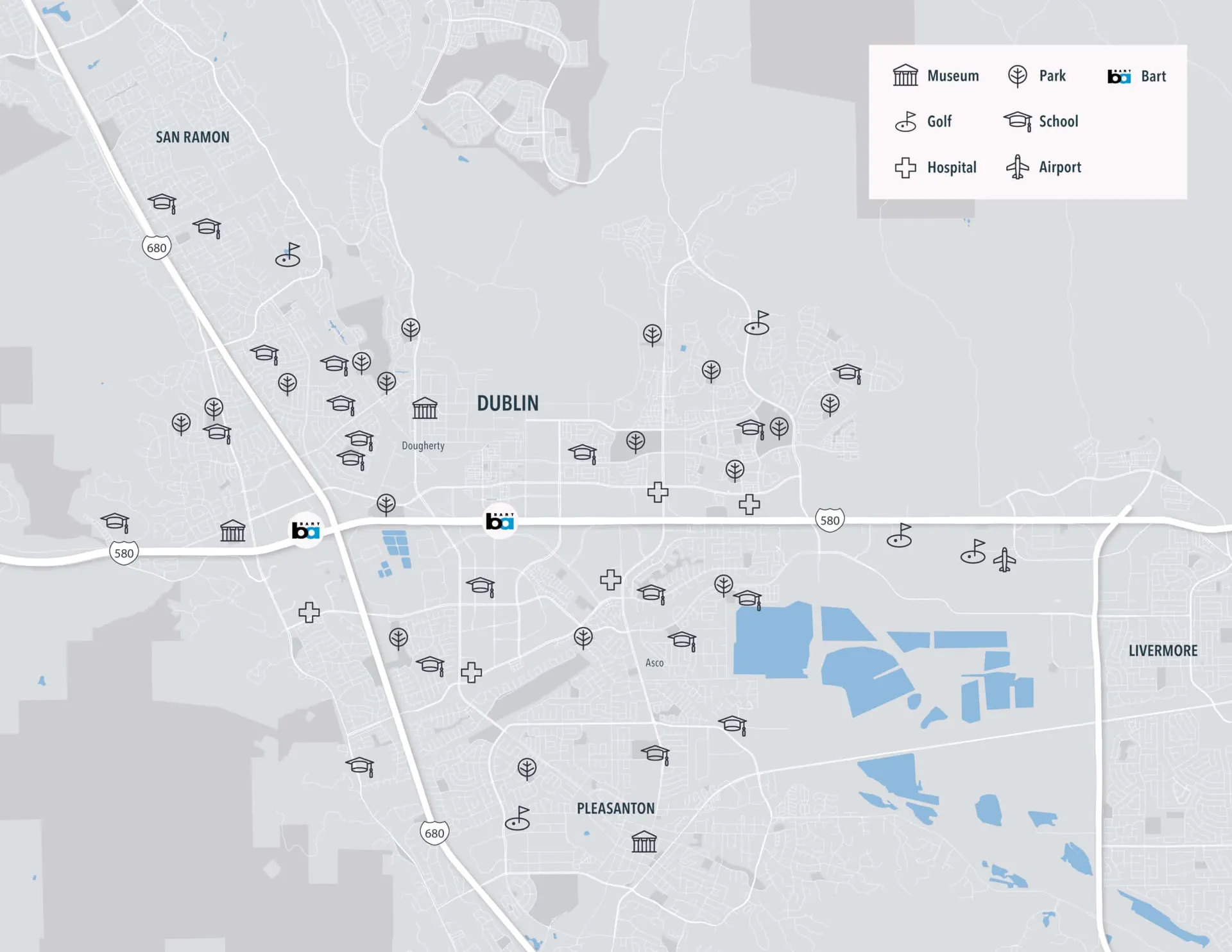
2D Vector Amenity Map
USD 450
• Geo-located amenity list or public amenity database
• We will supply editable, layered source files
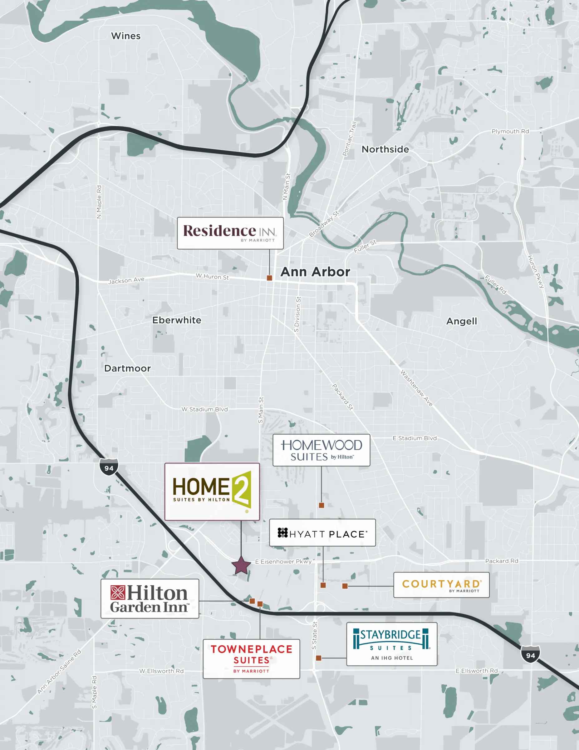
2D Vector Comp Map
USD 400
• Geo-located comp set of exact addresses with labels or a legend
• We will supply editable, layered source files
Inset with a Similar Level of Detail
USD 200
Additional Manual Labels/Layers
USD 50
(e.g. transportation, demographics data)
Timing
1-2 days
What to include in the brief?
• The property name/address to highlight 1-2 days
• List/spreadsheet of exact addresses or amenity categories
• The print size and orientation of the map – if different from the default (landscape Letter/A4), ideally with a marked-up screenshot of the area extent
• Color scheme, fonts, and any other style specification based on the reference file
Logo Maps


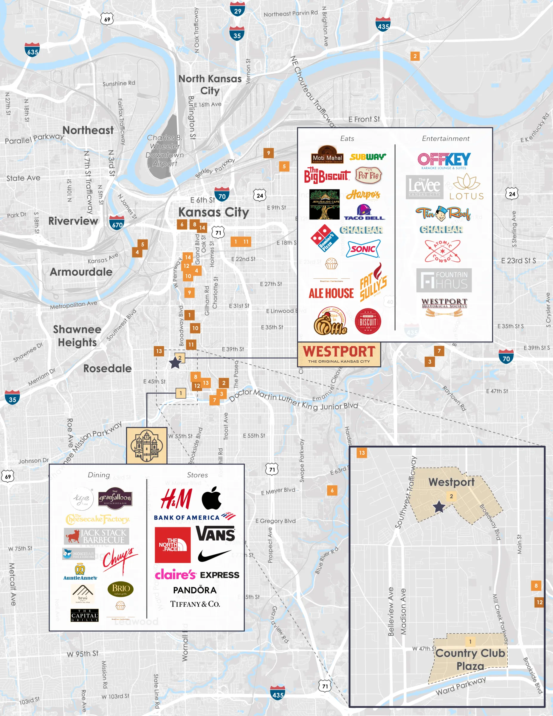
Amenity Logo Map (partial)
USD 500
• Geo-located amenity list or public amenity database
• A selection of pins converted to logos (important brands)
• We will supply editable, layered source files
Amenity Logo Map (complete)
USD 800
• Geo-located amenity list or public amenity database
• All requested amenity logos researched/adjusted
• We will supply editable, layered source files
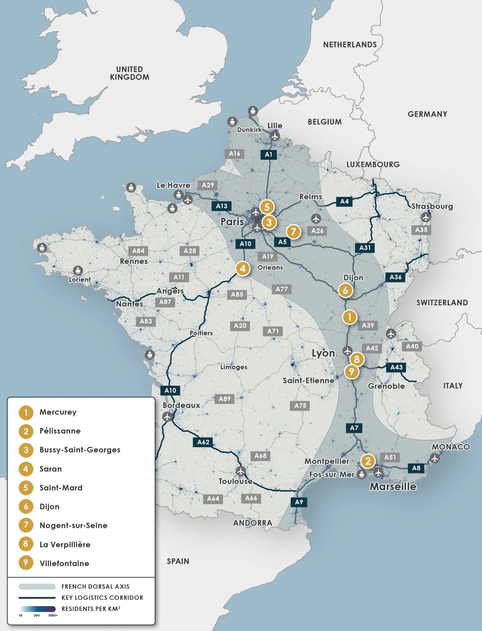
Additional Manual Labels/Layers
USD 100
(e.g. transportation, demographics, comparable properties)
Timing
2-3 days
What to include in the brief?
• The print size and orientation of the map – if different from the default (landscape Letter/A4), ideally with a marked-up screenshot of the area extent
• Color scheme, fonts, and any other style specifications
• Amenity list (split into groups if only partial logo requested)
Extra Info - Maps
- Typical pricing and turnaround times apply to projects of any scale and location worldwide.
- Custom category icons for plotting different features or amenity types are not included by default.
Please request a separate quote if you require unique or branded icons. - Advanced map overlays, including heat maps, isochronal drive or walk times, public transportation access, infographic layers, or other custom data visualizations, are not included and require a separate quote.
- The standard map size is landscape-oriented, Letter or A4.
Significantly different formats, sizes, or unusually dense content may result in a surcharge. - Expedited turnaround may incur a 50% surcharge.
Discounts may apply when multiple maps using the same visual style are ordered at the time of quoting. - Flexible scheduling discounts may be available when turnaround times permit.
Typical timings listed apply to a single map. Production schedules and delivery timing for batch orders will be confirmed separately. - Data responsibility disclaimer
We do not independently verify or validate overlay information supplied by the client or third parties.
Additional research, validation, or data reconciliation, if requested, may result in an extra charge.
Vector Map References